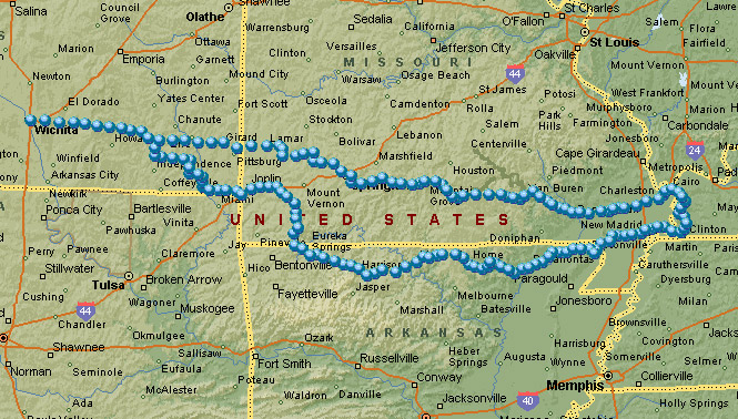
April 9, 2005

Cairo, Illinois sits at the very bottom of the state; right there at the confluence of the Ohio and Mississippi Rivers. I had never been there, but it looked like an interesting place to go.
 Kansas
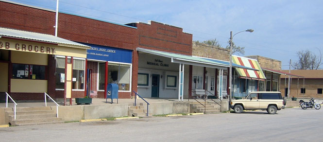
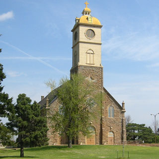
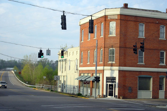
The town of Fall River is due east from Wichita. The town is not on the main highway, which explains why it hasn't changed much over the years.
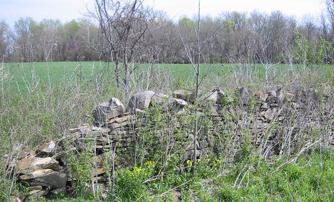
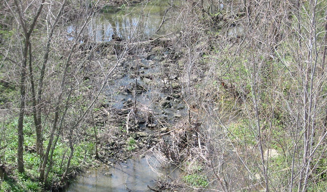
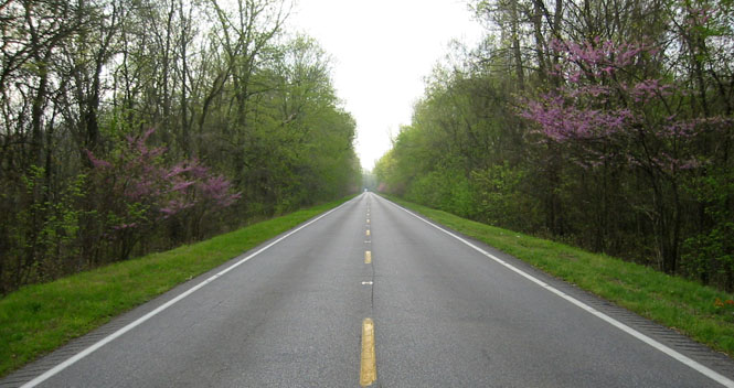
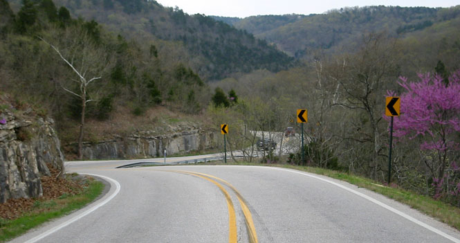
The creeks were all full. Most trees are still bare, but the redbuds are out along with the grasses and flowers.

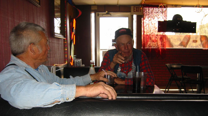
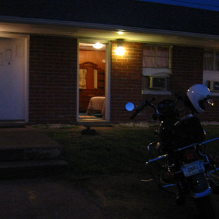
 The sign at the door said something about needing to be 21 years old, but I
doubt that the rules are enforced too strictly.
The sign at the door said something about needing to be 21 years old, but I
doubt that the rules are enforced too strictly.That's Earl on the left and Carl on the right. Carl (who is 80 years old and a WW2 veteran) said he often walked over to the Viet Nam veterans memorial next to the courthouse to read the names. He said he often thought about the families of the boys as well as the boys who enlisted with him.
 Missouri
I entered Missouri at Lamar (on US-160) and stayed on that highway all across the state.
 Illinois
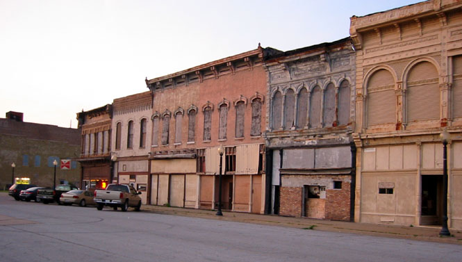
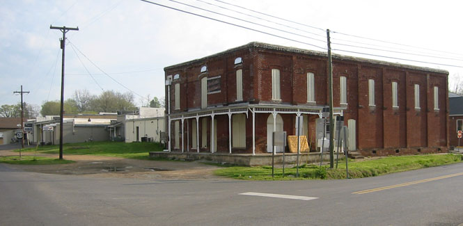
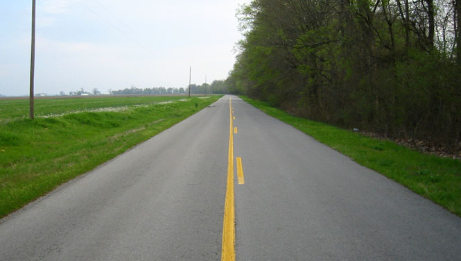
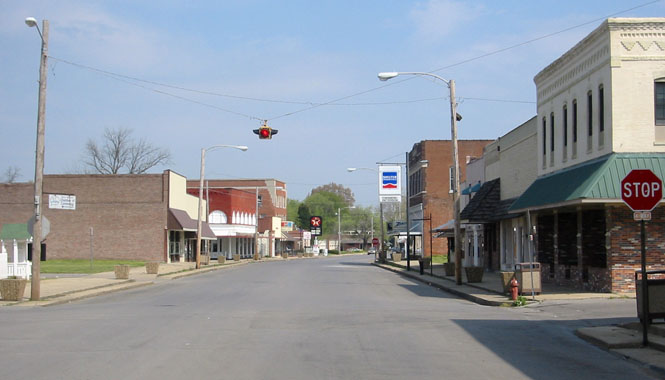
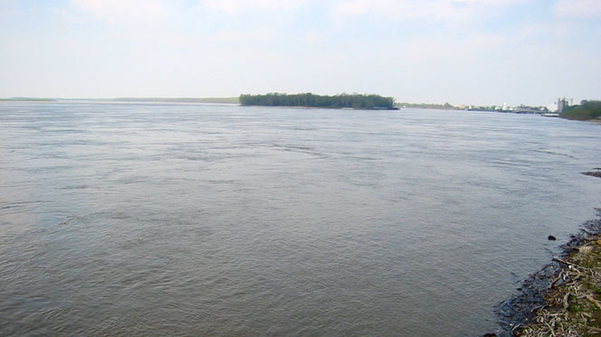
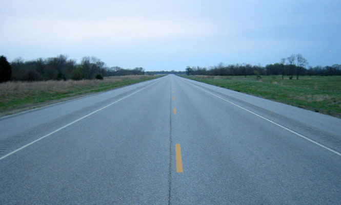
From Poplar Bluff, Missouri to the Mississippi River, the state is just dead flat. I crossed over to Illinois, and then immediately turned south to the city of Cairo. Cairo has seen better days. This is a photograph of the downtown core area, but much of the city (and it's not a small place) looked pretty much like this. By the way, it's pronounced like Karo Syrup.
 Kentucky
Not wanting to stay in Cairo, I dropped down into Kentucky and spent the night in Wickliffe. It was cheap, anyway.
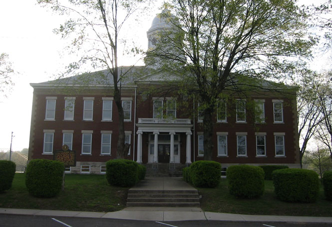
Wickliffe is a county seat (and is also built along the same courthouse principle).
The view south out of town, towards Tennessee.
Still in Kentucky; this is not a prosperous area.
 Tennessee
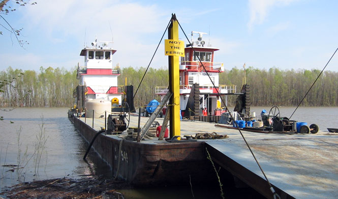
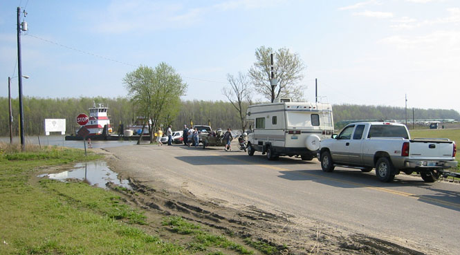
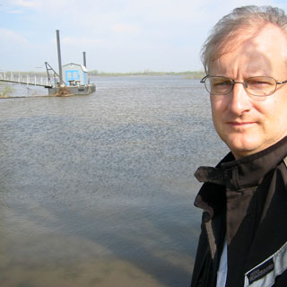
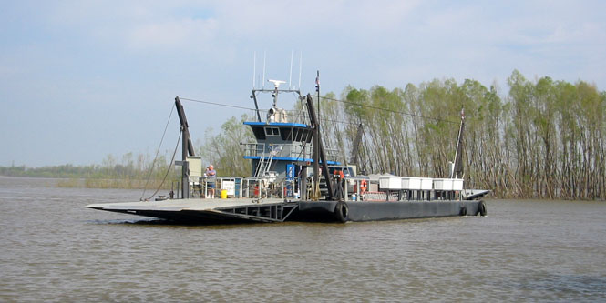
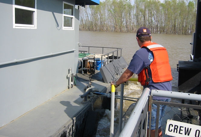
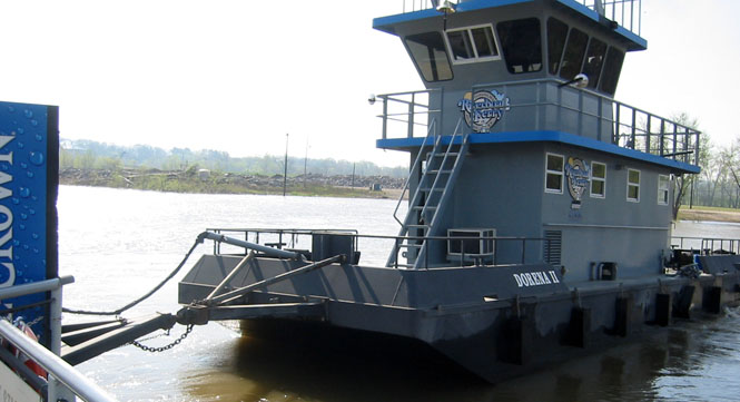
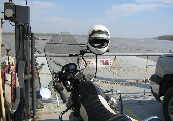
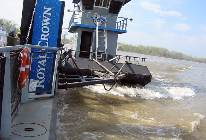
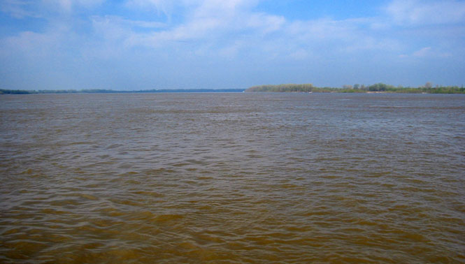
Once in Tennessee, I turned back up into Kentucky at Hickman, and waited for the ferry to take me across into Missouri (keeping track of the borders was not easy).
This is not the ferry (as the sign informs)...
Missouri
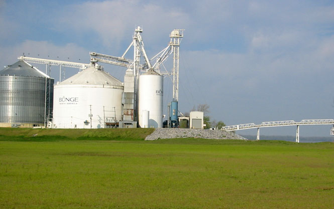
New Madrid, Missouri. This was the center of the largest earthquake in American history (it happened in 1811). If it ever happens again there will be big trouble (there have been a few changes since then).
 Arkansas
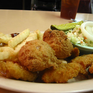
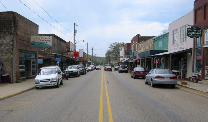
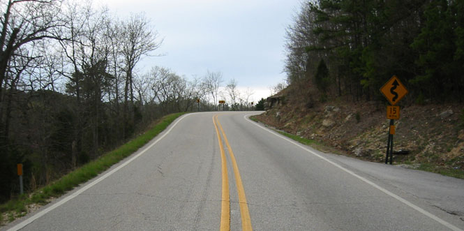
From New Madrid, I dropped down to Arkansas, and then stayed in that state most of the way across. This is Hardy, where I stopped for lunch.
The view from the same spot, but looking up the hill. Note that the sign says 15 mph. That's accurate, enough, for cars.
Missouri
I jogged back north into Missouri, and then headed over to Joplin. At this point, the sun was setting, and I didn't have any new roads to tackle. I was just clicking off the miles to get back to Kansas.
Kansas
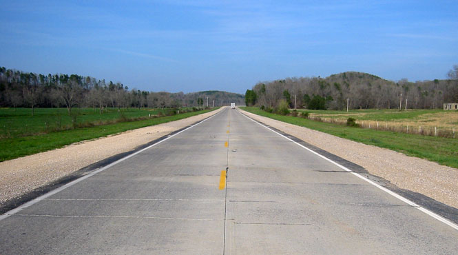
Highway US-400 in the far southeast corner of Kansas.
A nice trip for the weekend, but at just over 1,200 miles, it's probably on the high side for having enough time to stop and take pictures.