December, 2009
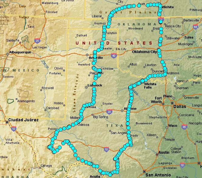
A trip by Awanna and Daniel. The general goal was to see the broad range of the panhandle region of Texas.
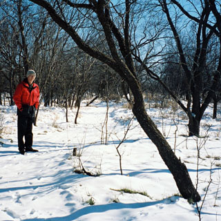
 Kansas
Bad weather was moving in, and projected to cover much of Oklahoma. Below the Red River, things were forecast to be generally better, so the idea was to drive south before the storm moved in.
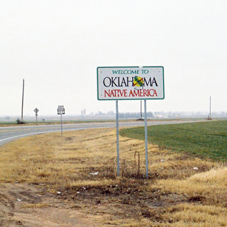
 Oklahoma
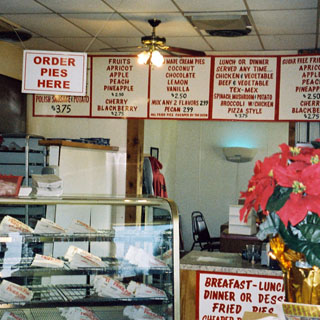
Good weather through Oklahoma (with a stop at the fried pie store on exit 51). It looked like we'd be able to avoid the storm.
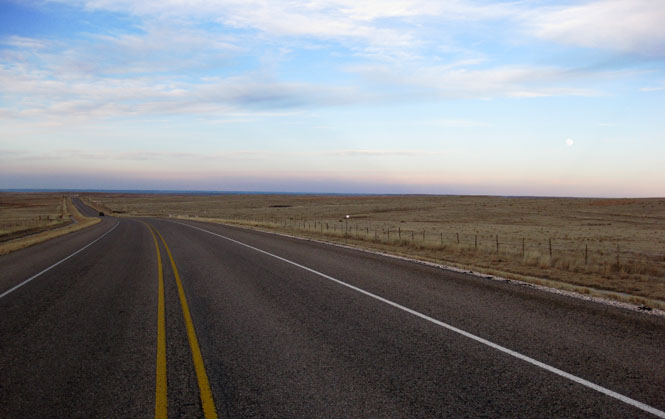
 Texas
Texas
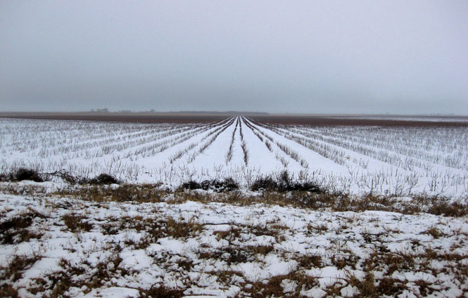
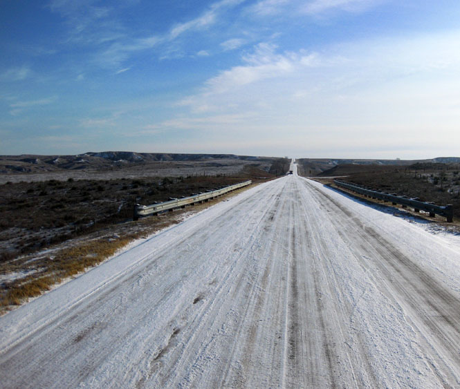
Wichita Falls, Texas. The next morning there was ice everywhere, and a light layer of snow. If this was all there was, it wouldn't be too bad to continue driving south.
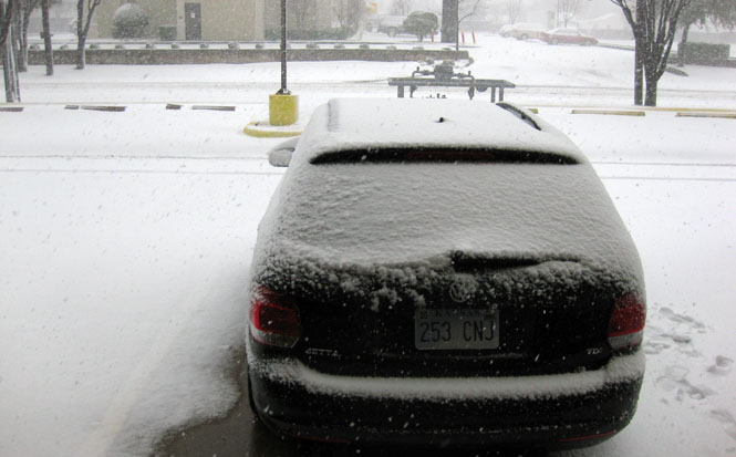
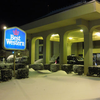
The snow kept falling, and the temperature kept dropping. We drove just across the road to another Best Western--this one had interior rooms.
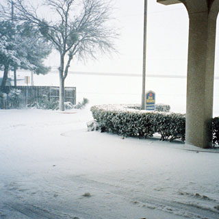
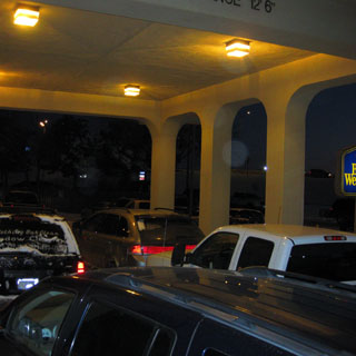
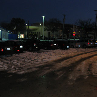
Cars that made it to the entry drive were unable to leave. Soon there was a gridlock of parked cars that wouldn't be cleared for two days.
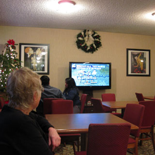
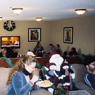
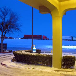
Watching the weather channel. In their room or in the lobby; it's what everybody was doing.
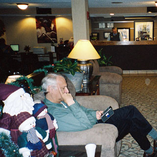
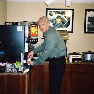


Throughout the trip we'd encounter hotel staff who were efficient and knowledgeable, and then we'd encounter others who were not. This Best Western had a terrific staff. As with all their guests, they were also trapped, and had to stay the night and the next day as well. But, unlike the guests, they hardly expected to be away from home. Even when frazzled and desperate travelers arrived at the front desk, the staff was patient and always helpful.
When food was running low, they kept the breakfast bar open for as long as people were eating. Later, they set out hotdogs and chili. Nothing else within walking distance was open, and most of the guests probably were not as well stocked as we were. One family put several of the smaller breakfast tables together and celebrated their Christmas dinner.
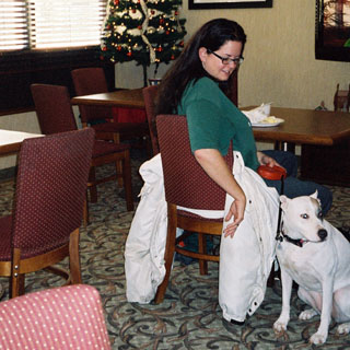
Normally, there are rules against dogs hanging out in the lobby, but nobody paid much mind. There actually were quite a few dogs (and one that was huge), but in all cases they were very well behaved.
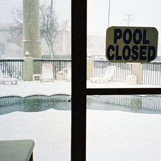
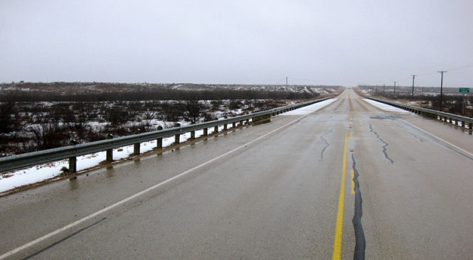
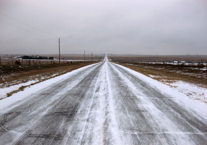
Wichita Falls had up to eleven inches of snow. Drifts were much deeper. Traffic was at a stand-still.
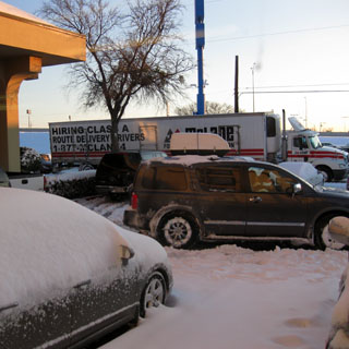
We could see the highway--but, these trucks were not moving.
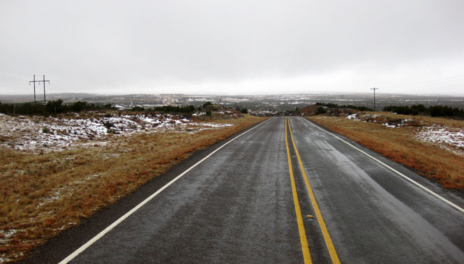
After three nights in Wichita Falls, it was time to be on our way. It was cold, but not windy, and the sky was blue. Surely, the roads would be mostly clear of snow and ice.
Not so.
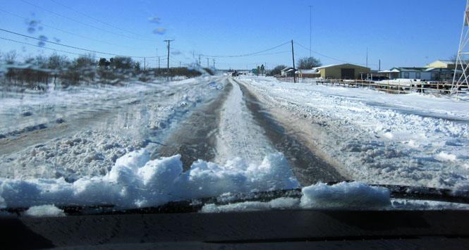
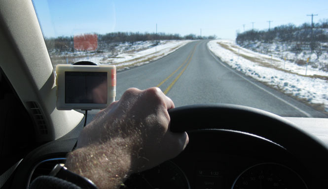
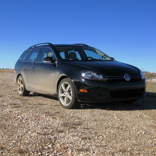
It was very slow going for many miles. The ground clearance of the Jetta is not all that much, and we were often scraping snow between the tire tracks. Heated seats are a good invention.
Seymour, Texas.

Throckmorton, Texas.
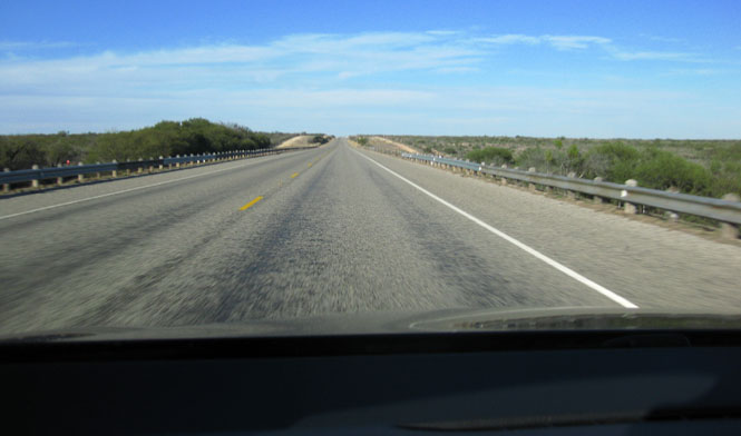
Generally the GPS was just in passive map-mode; it's not hard to navigate on the numbered Texas highways.
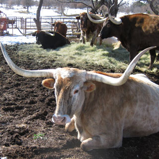
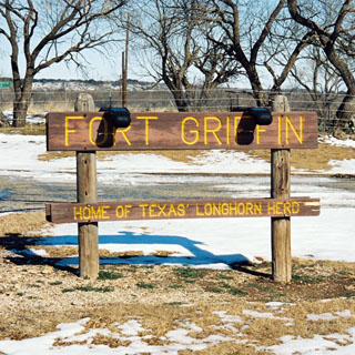
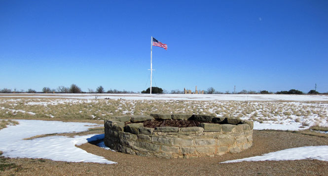
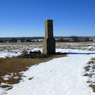
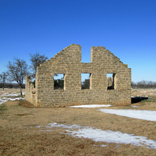
Fort Griffin State Park. This fort is one of several boundary forts that were established to separate the settlers from the various tribes that preferred that the settlers settle someplace else. The official Texas longhorn herd is located here.
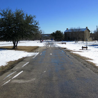
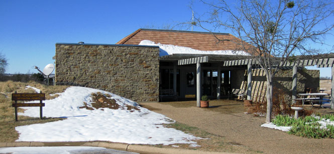
Looking at the parade grounds, with the community well in the foreground.
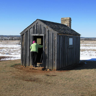
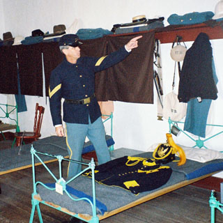
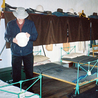
The barracks held up to six men.
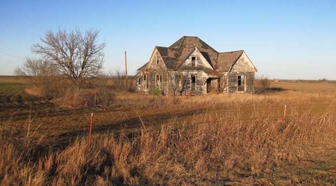
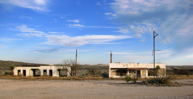
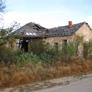
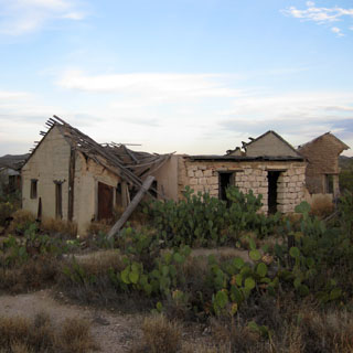
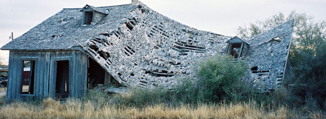
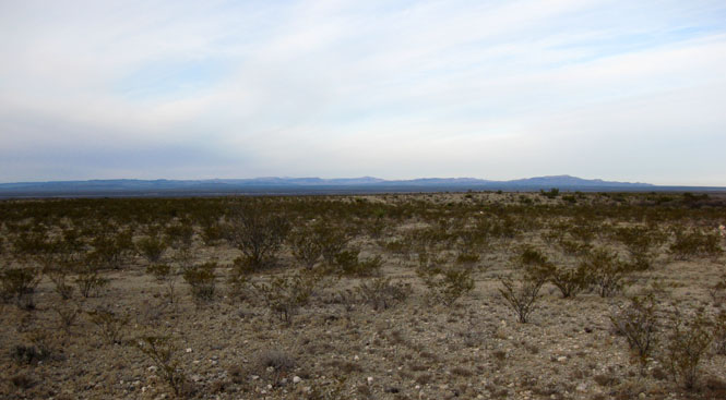
Just one of many abandoned farm houses seen along the way.
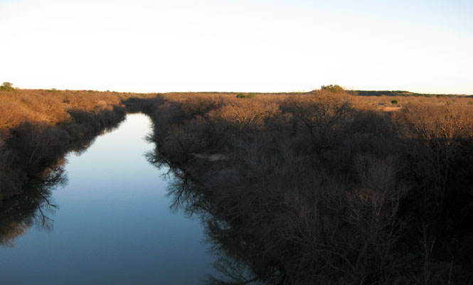
The Colorado River (not the Colorado River).
Rocksprings, Texas. We were looking for Devil's Sink Hole State Natural Area, which was on the map, but for which there were no signs. It turns out that the area is not on any public roads, and is not open without a reservation.
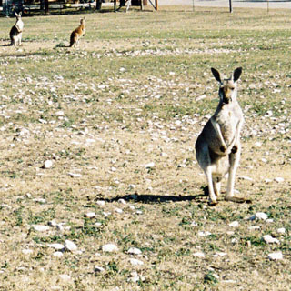
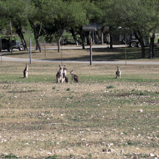
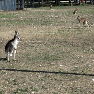
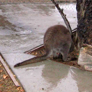
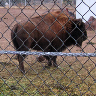
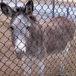
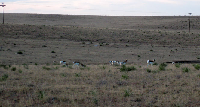
Near Vance, Texas we came on a private reserve of exotic (for Texas) animals.
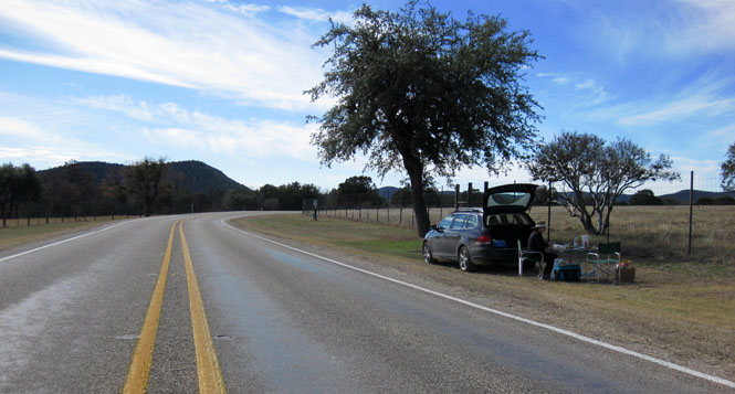
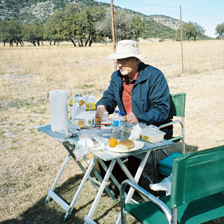
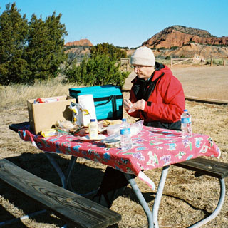
We packed a pair of small aluminum tables, which turned out to be very useful. You can't always count on a picnic table being available, and it seemed that this trip had fewer than normal. Naturally, folding chairs have always been on the list of required items.
Grey and red kangaroos--at least twenty-five of the hoppers.
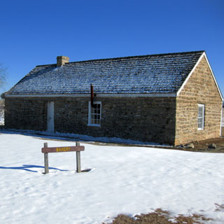
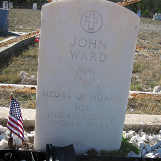
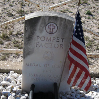
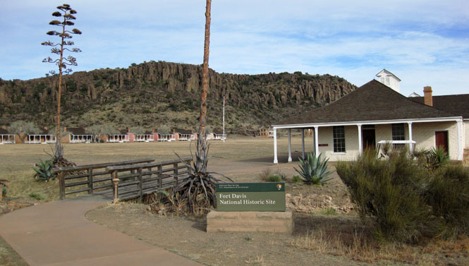
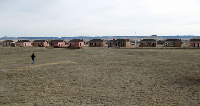
Fort Clark; another of the Texas forts, But, this one was considerably larger than Fort Griffin and was a functioning army base until much later--1946.
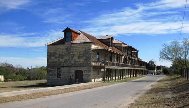
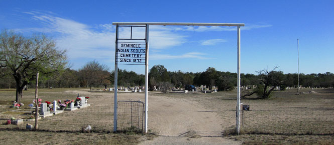
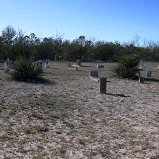
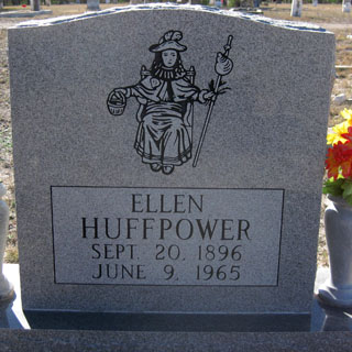
There are four medal-of-honor winners buried in the cemetery.
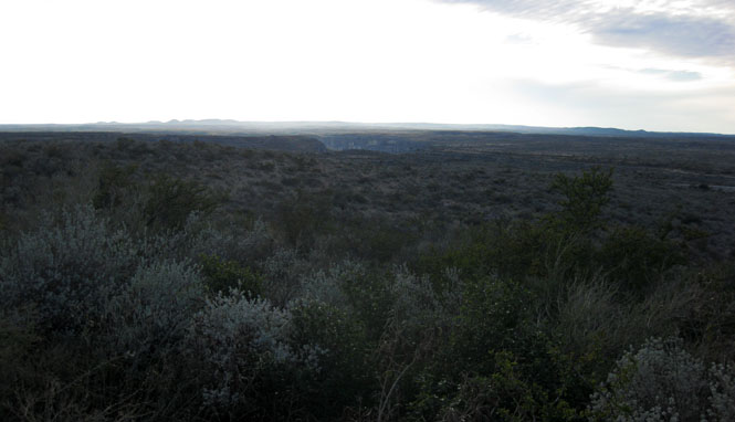
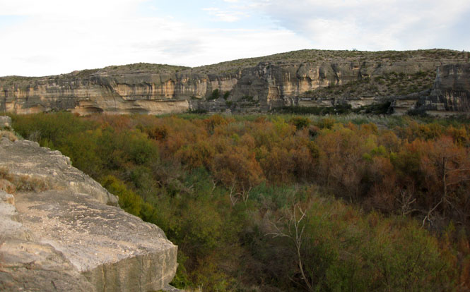
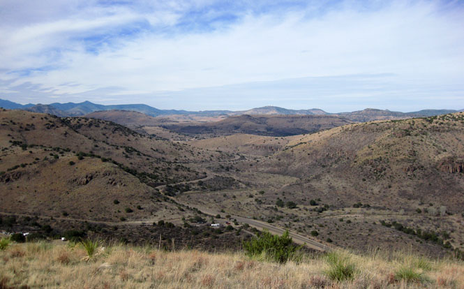
The distance between the Rio Grande and Pecos Rivers can't be more than a few miles. Both rivers are in a deep canyon. Traversing this area was a major accomplishment for the southern transcontinental route used by the Southern Pacific. On the other side of the canyon (in the photograph) is Mexico.
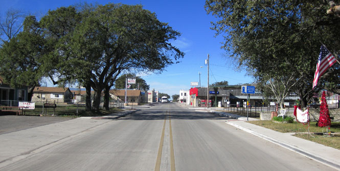
Langtry, Texas doesn't even show on many maps. It is now mostly known for being the home of Judge Roy Bean.
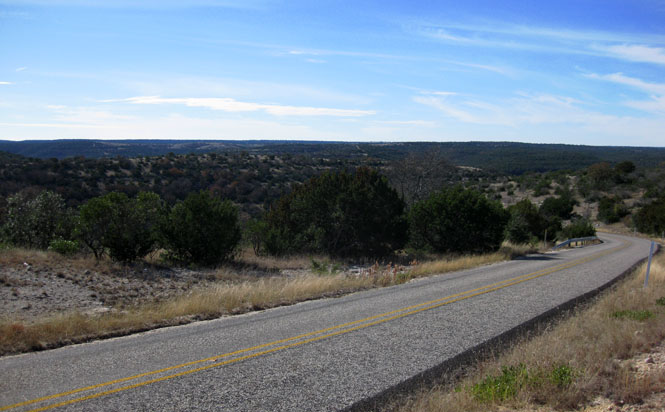
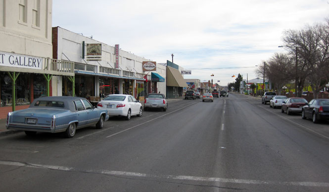
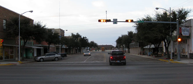
Alpine, Texas still refers to itself as having the charm and flavor of a European city. Frankly, it's hard to see that.
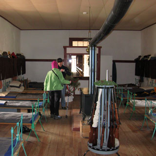
This knowledgeable park guide was in the barracks to answer any questions that visitors might have. He was wearing the exact uniform that the soldiers of the time would be wearing-right down to the army-issued wool underwear. As might be expected, he said it was very scratchy. He told us about the beds, the hats, the uniforms, the heating system, and even how the building was constructed.
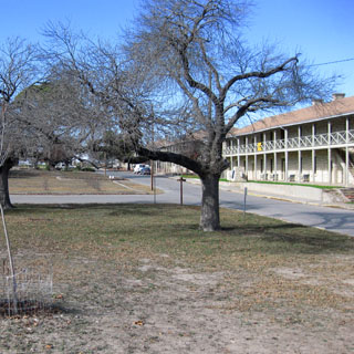
The view from the hospital building--looking at the officers quarters.
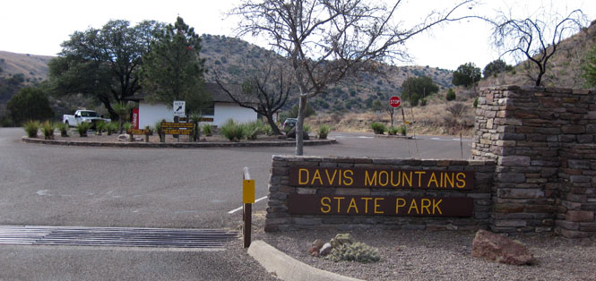
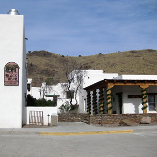
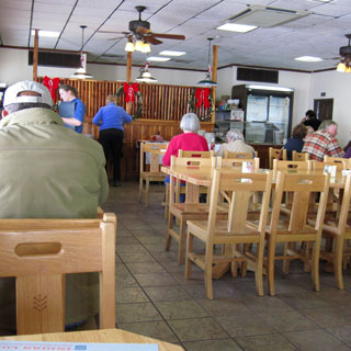
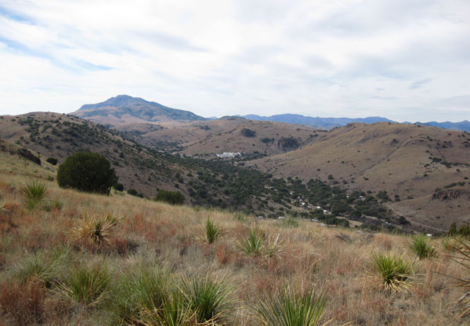
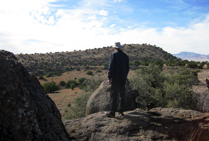
There is a nice hotel (Indian Lodge) and restaurant complex tucked into the mountains. This was developed by the CCC.
You can see the hotel complex in the distance (white buildings).
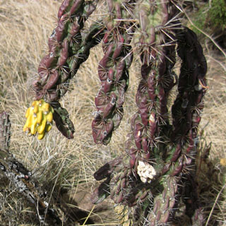
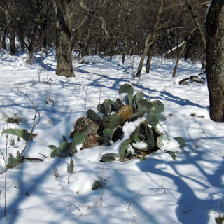
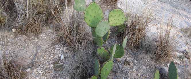
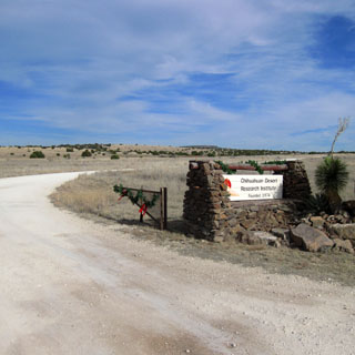
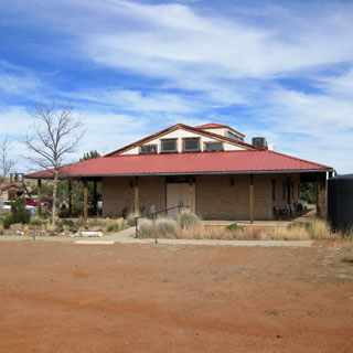
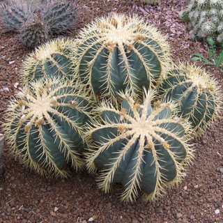
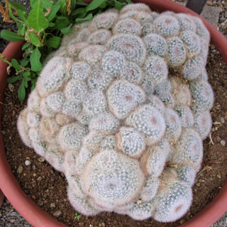
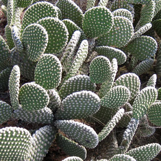
The Chihuahua Desert Research Institute is a non-profit that is all about cacti. This visitor center was opened in 1998.
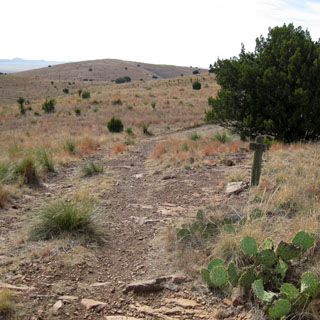
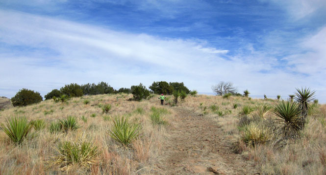
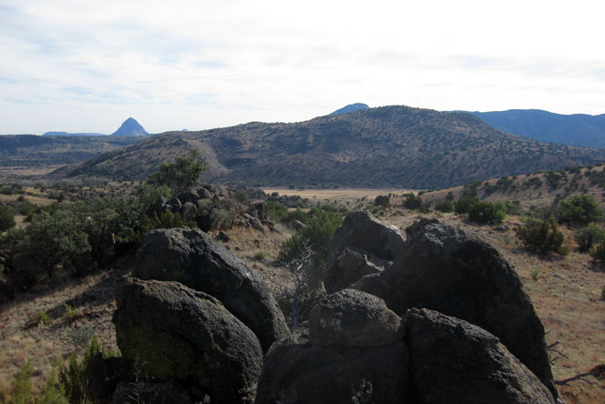
There were several well-marked trails. We started down one of the longer ones, but turned back when it became quite rugged and steep. So we reversed and went down another trail that took us to an impressive overlook of Mitre Peak.
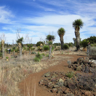
The greenhouse has over two-hundred species.
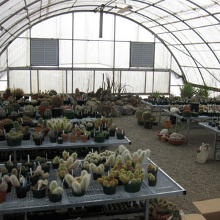
The unpaved driveway to the Institute.
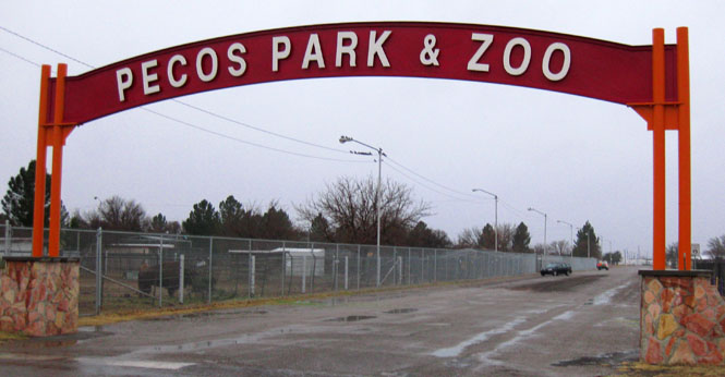
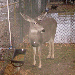
Pecos, Texas.
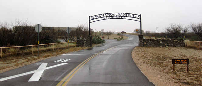
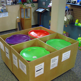
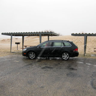
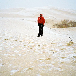
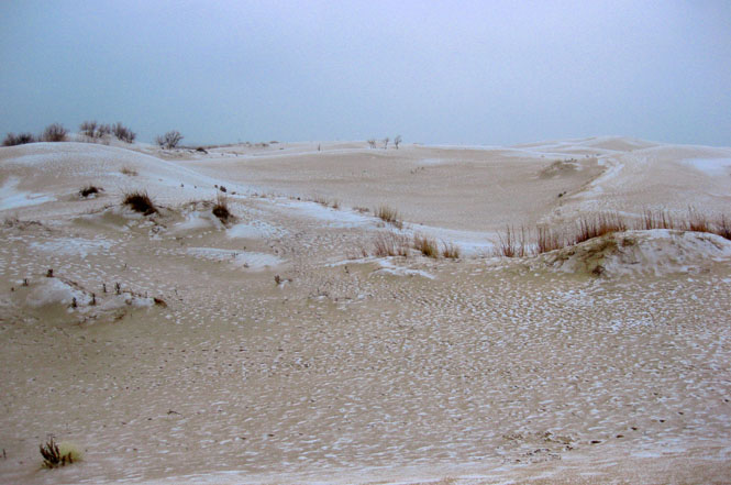
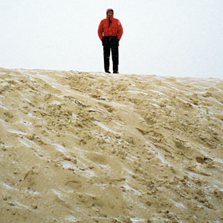
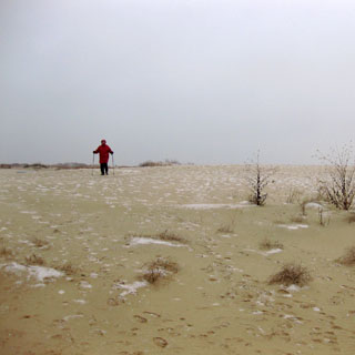
On warmer days, you can rent these plastic disks for sliding down the sand hills. We declined.
It was cold and windy and even snowing just a bit. Not surprisingly, we were the only ones on the dunes.
Odessa, Texas.
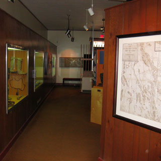
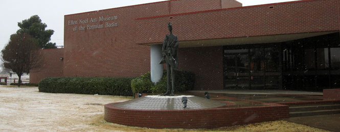
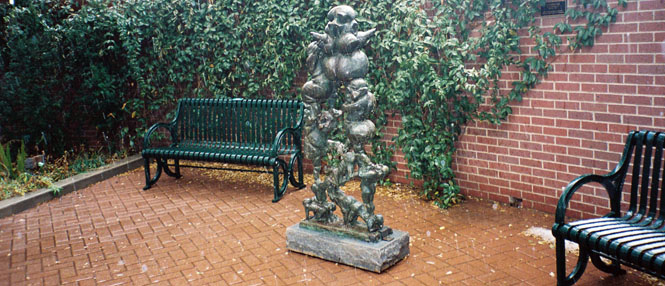
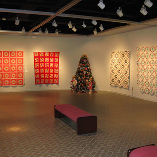
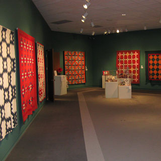
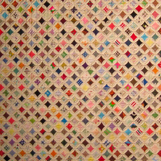
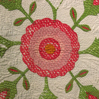
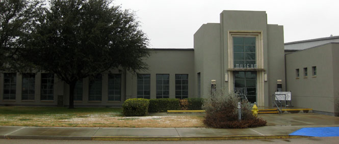
Ellen Noel Art Museum. The museum was showing an exhibit of quilts.


Midland Airport.
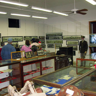
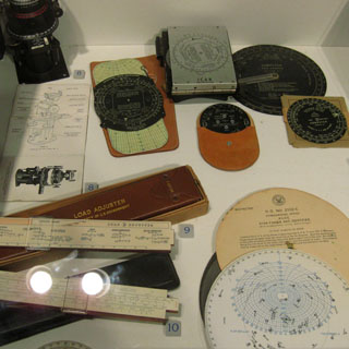
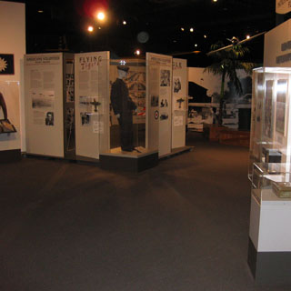
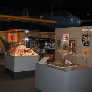
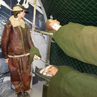
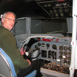
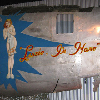
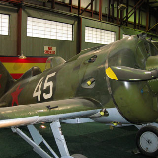
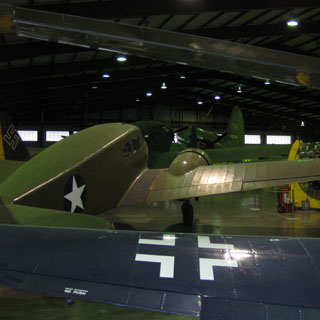
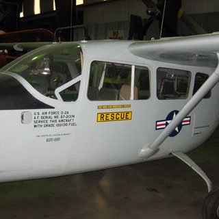
Commemorative Air Force Museum.
The museum was really quite well done. The emphasize is on aircraft of the Second World War.
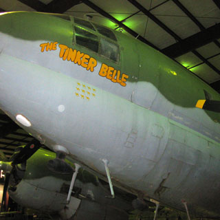
The interior of a C-54 transport.
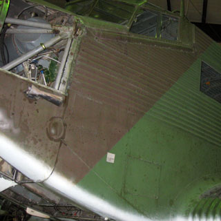
Only through the efforts of one of the post-war salvagers does this collection of nose art exist. Before the rest of the airframe was sent to the smelter, the paintings were cut out with an axe.
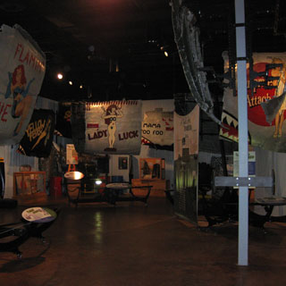
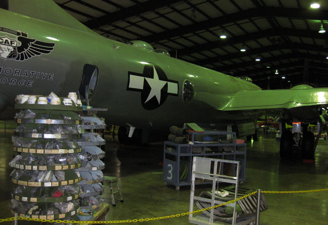
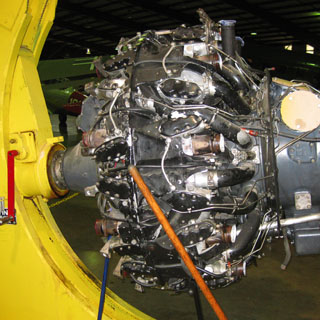
Inside the hangar.
This is the only remaining flying B-29. It is down for major engine work.
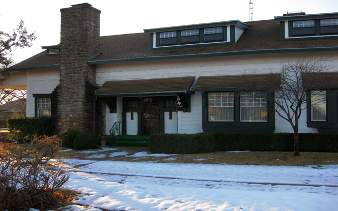
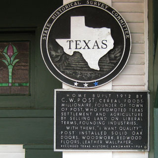
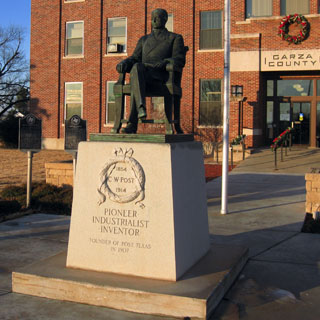
Post, Texas was founded by C. W. Post (the cereal guy) as a utopian self-sufficient town.
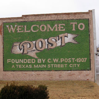
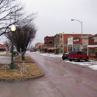
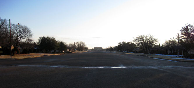
The enormously wide main street.
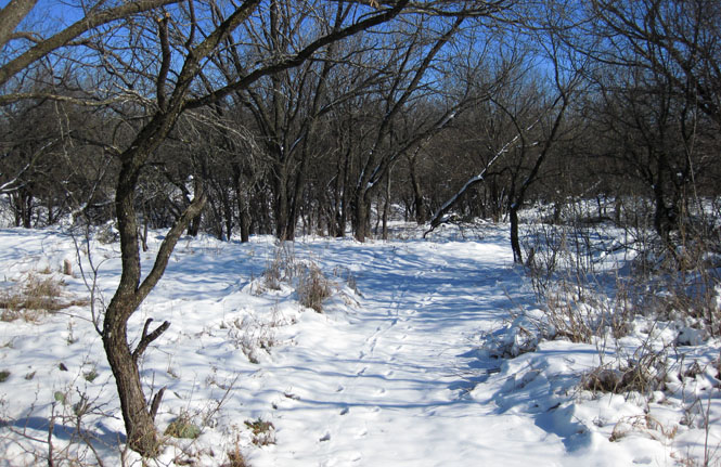
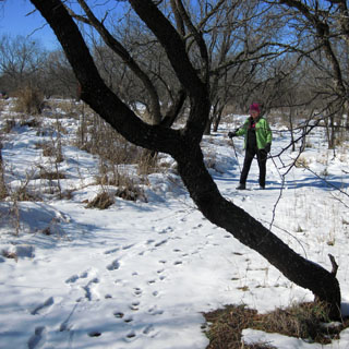
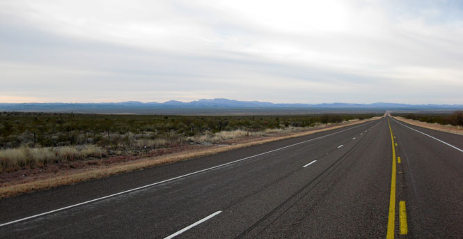
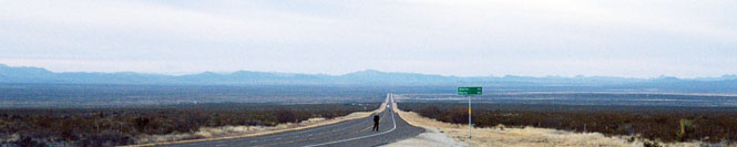
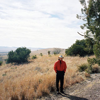
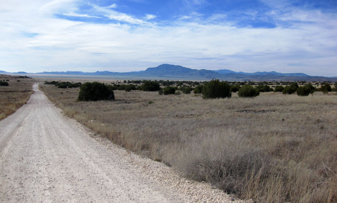
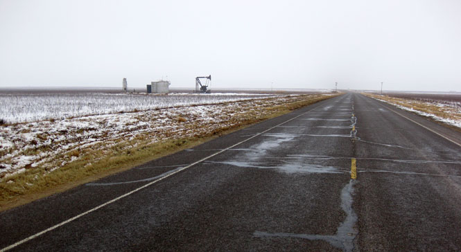
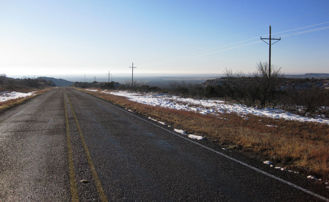
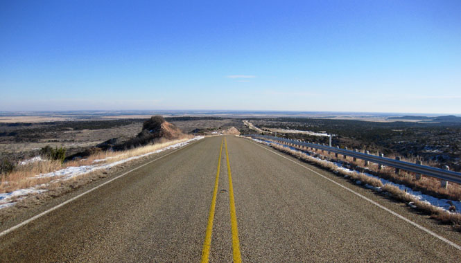
Driving into the Panhandle.
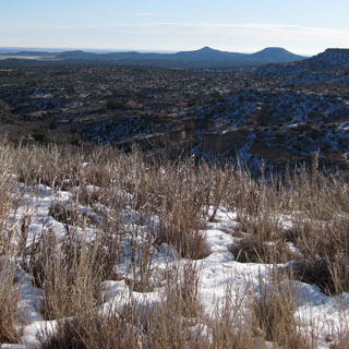
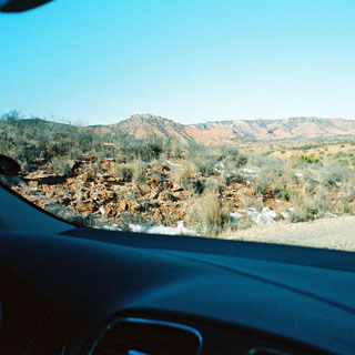
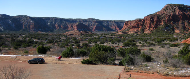
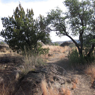
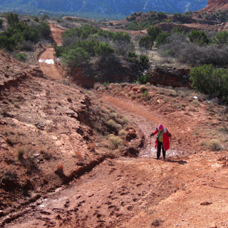
Most of the snow had melted and evaporated, but there were still plenty of muddy areas on the trail.
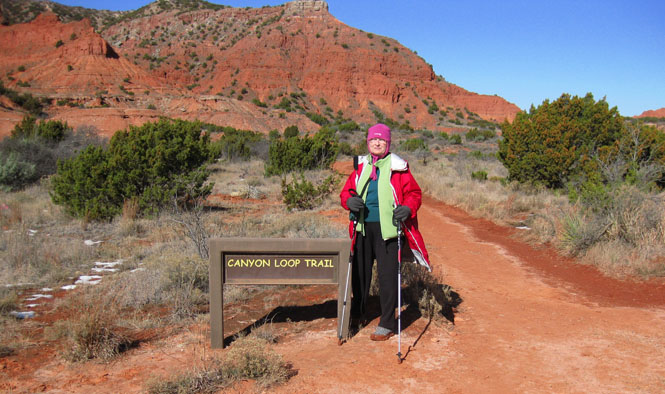
We hiked one mile to a primitive campsite. The trail extends much farther, but we wouldn't be doing that, today.
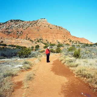
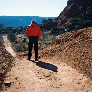
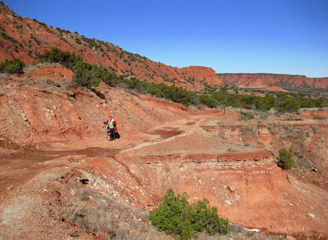
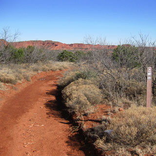
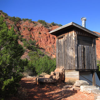
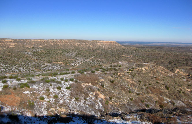
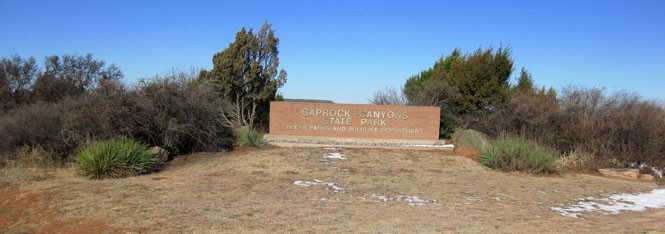
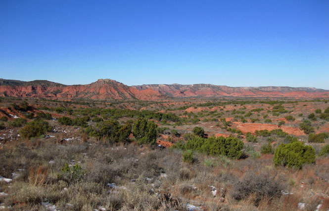
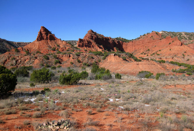
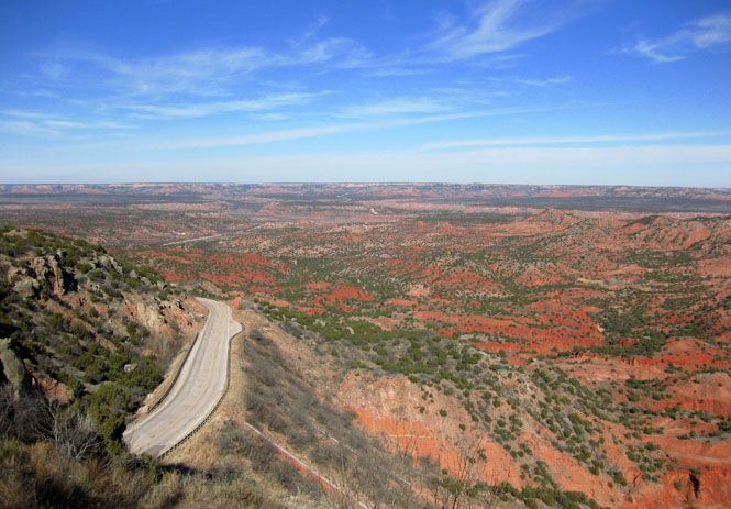
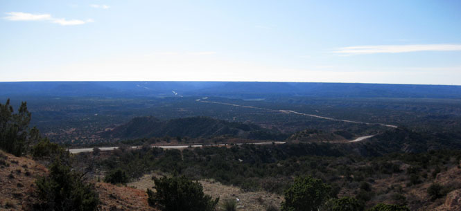
Palo Duro Canyon.
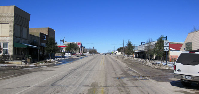
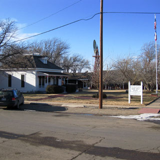
Panhandle, Texas.
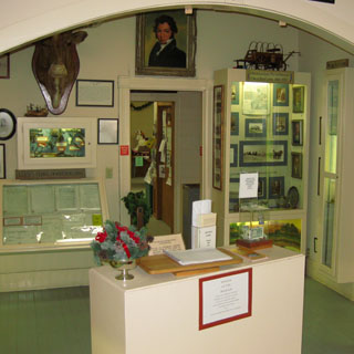
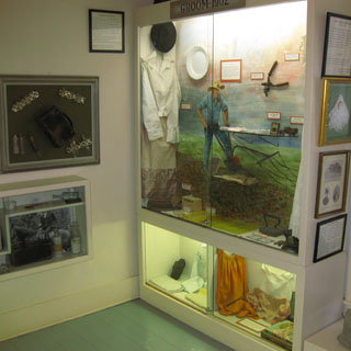
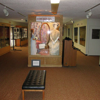
The Square House Museum.
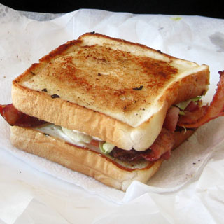
Perryton, Texas. This is a vegetarian pizza with pineapple.

Oklahoma
Sometimes this was genuinely slippery.
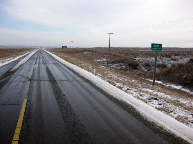
Kansas
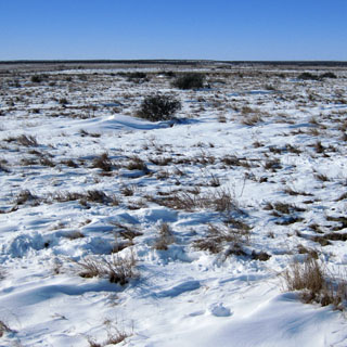
When we reached the town of Meade, the snow was mostly all gone.

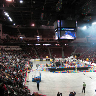
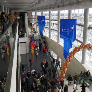
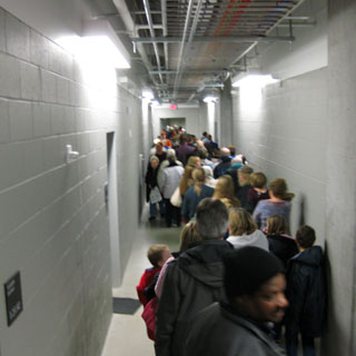
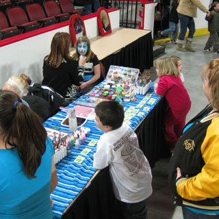
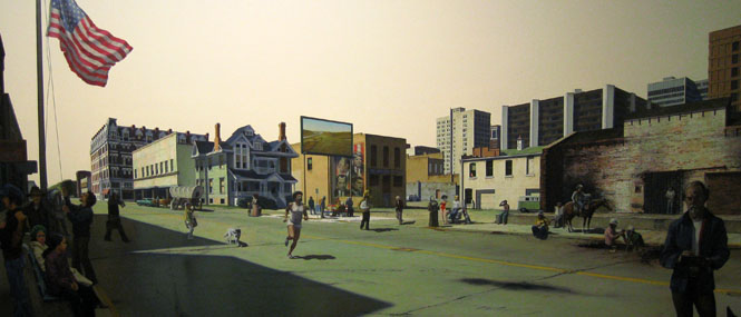
The public grand opening of the Downtown Wichita Arena.