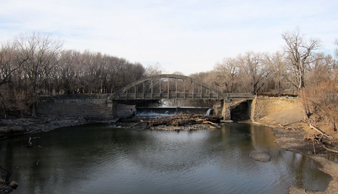
January 29, 2012

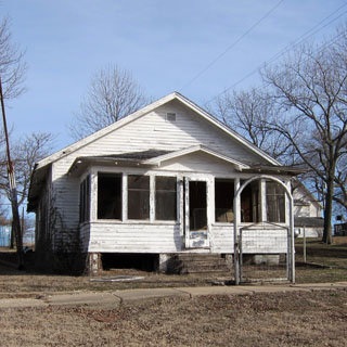
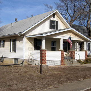
Virgil is in Greenwood County, northeast of Wichita. It is adjacent to the Verdigris River, which I gather has been the source of severe flooding in years past. I suspect that Virgil was founded to service the oil fields--there are still plenty of pumps and storage tanks in the vicinity.
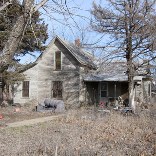
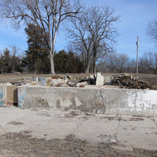
Unfortunately, it looks like I arrived some years too late. The two-story hotel that still shows in Google Street View is gone (fire), and the large school building and associated gymnasium is also gone. The 2010 census shows a population of 71, which seems high.
 Kansas
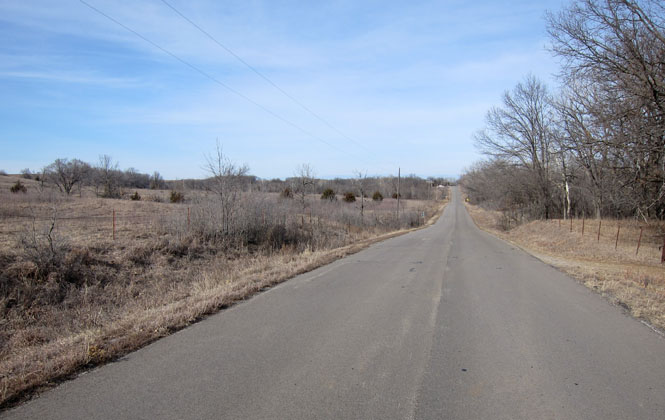
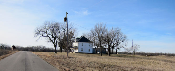
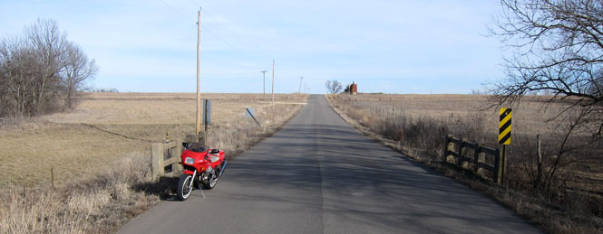
The only paved road into Virgil is a good one (and is almost guaranteed to be empty). You'll need to start from Hamilton, which is about ten miles west of Virgil.
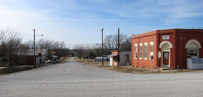
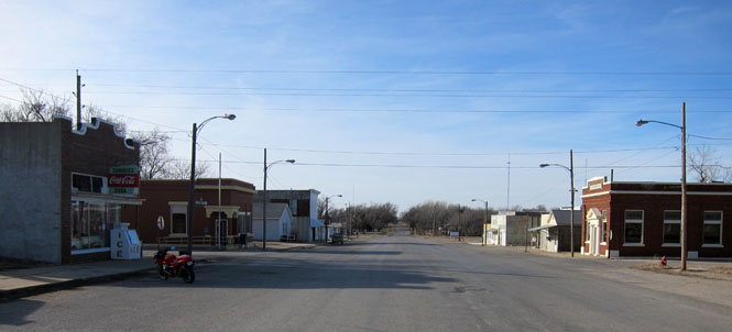
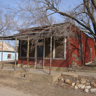
A view of Virgil, looking west. I believe the north-south street in the foreground was actually the primary business district, but there is little left. The red brick building is clearly the original bank, and is now a tavern.
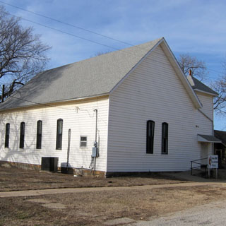
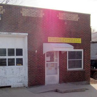
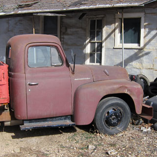
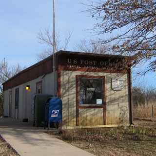
For now, Virgil has a post office. This concrete retaining wall is all that remains of the old hotel.
When the Google Street-View camera drove through town, the hotel was still there:

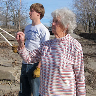
My two guides to help explain Virgil, today.
That's Sugar, a sweet-tempered pug.
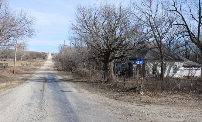
The pavement stops as the road continues east out of town. I'll be going back the way I came.
Retracing the route from Virgil to Hamilton.
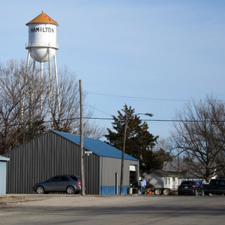
Hamilton, Kansas (the gateway to Virgil).
The Cottonwood River, just south of Emporia (there are several rivers in Kansas named "Cottonwood").

