

July - August, 2018
Sunday |
Monday |
Tuesday |
Wednesday |
Thursday |
Friday |
Saturday |
| 8 July | 9 | 10 | 11 | 12 | 13 Wichita Denver Newark |
14 Milano Lecco (Italy) |
| 15 Lecco (Italy) |
16 Lahr (Germany) |
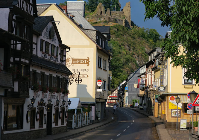
17 Altenahr (Germany) |
18 Rendsburg (Germany) |
19 Hirtshals (Denmark) |
20 Haukeligrend (Norway) |
21 Gausemel (Norway) |
| 22 Trondheim (Norway) |
23 Grong (Norway) |
24 Mo i Rana (Norway) |
25 Narvik (Norway) |
26 Gällivare (Sweden) |
27 Strömsund (Sweden) |
28 Mora (Sweden) |
| 29 Mora (Sweden) |
30 Skövde (Sweden) |
31 Trelleborg (Sweden) |
1 Aug Parchim (Germany) |
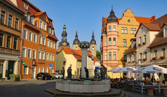
2 Eisleben (Germany) |
3 Ruderting (Germany) |
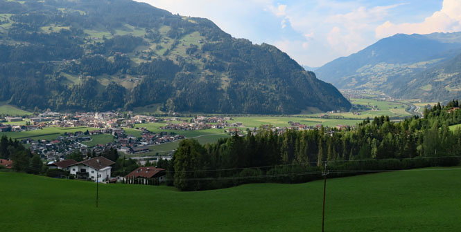
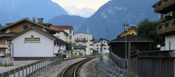
4 Zell am Ziller (Austria) |
| 5 Merano (Italy) |
6 Mandello (Italy) |
7 Milano (Italy) |
8 Newark Houston Wichita |
9 | 10 | 11 |
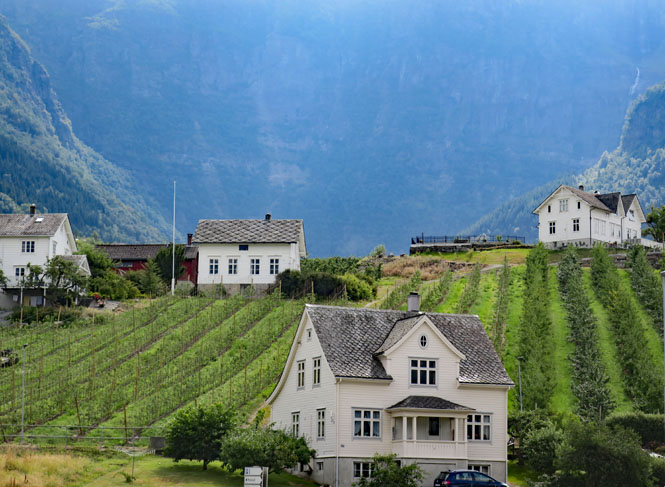
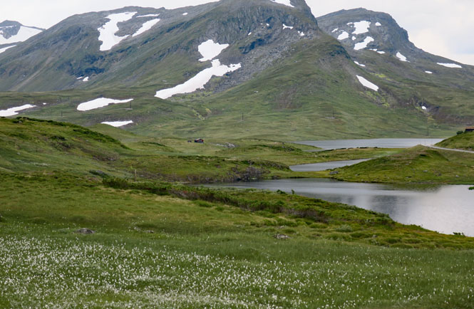
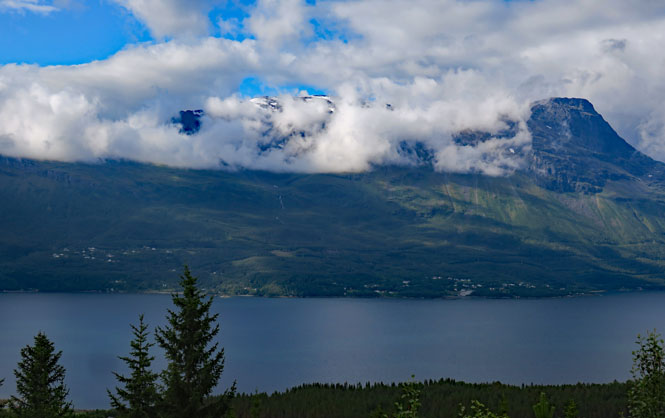
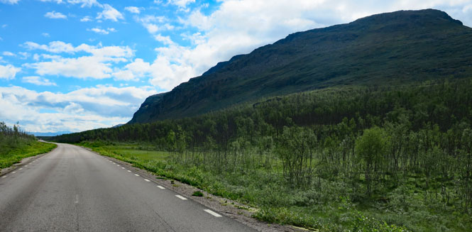
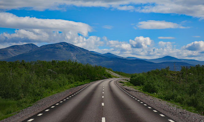
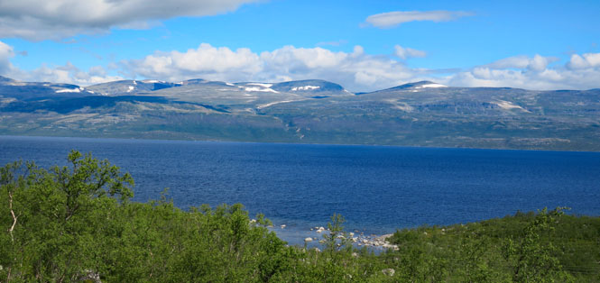
I've wanted to circle around the Scandinavian Mountains for years, so finally put it on the schedule for mid-summer. I wasn't sure how far north I'd want to ride before crossing over the mountain and returning, but, I built enough slack into the calendar that I could wait to make that decision along the way.
 Europe Motorcycle
Trip #20
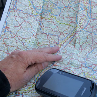
For some reason, I've always assumed I'd make this trip by riding in a large clock-wise circle; and, that's what I did. Beyond that, I carried a map showing previous trips across Germany that I could use as a reference to make sure I didn't repeat any roads either coming or going--mostly, I didn't.
 New Jersey
As with the trip made just a few weeks earlier, this flight to Europe began with a flight the wrong way to Denver. But, several hours later I was flying the right direction towards Newark, for the flight to Milano.
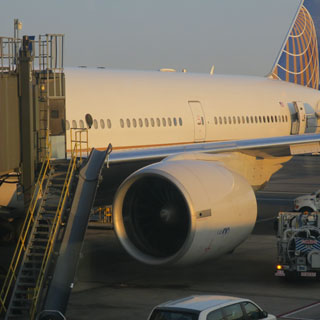
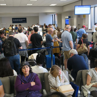
My flight was delayed several hours (on the ramp) first trying to get the weight-and-balance correct (that problem turned out to be a bad software load) and then waiting for three unhappy passengers to get off the plane and then take even more time while the baggage handlers searched in the hold for the bags that belonged to those unhappy people. By now, there were quite a few more unhappy people, but they stayed in their seats.
 Italy
Italy
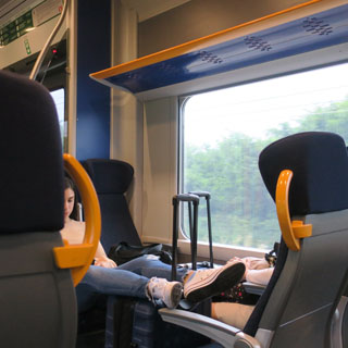
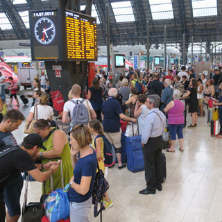
It's the same routine: take the Malpensa Express train to the main Milano station, and then wait a couple of hours for the regional train to Lecco.
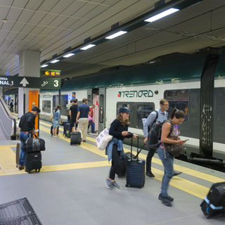
If the flight from Newark beats the schedule by just a few minutes, there's an earlier train, but of course, we were a few hours late.
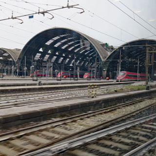
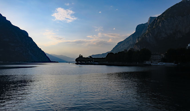
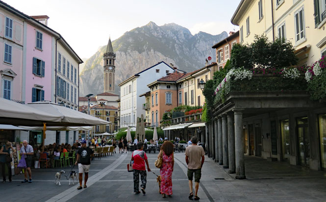
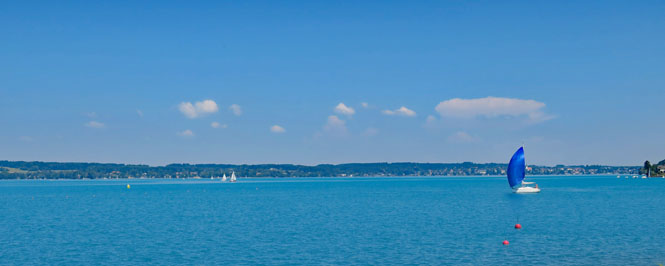
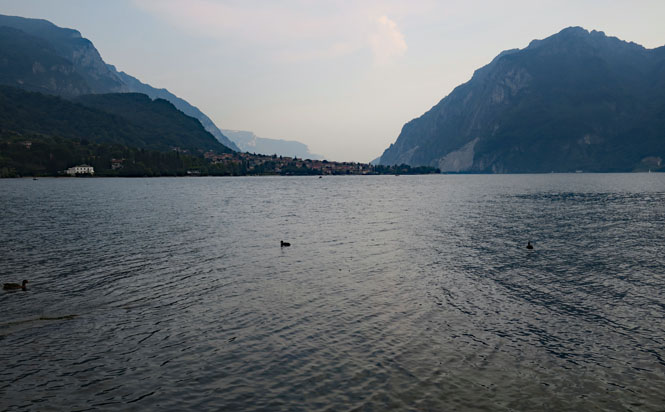
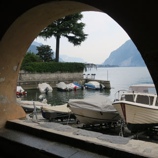
Lecco. Lake Como is beautiful no matter where you are standing.
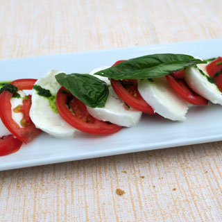
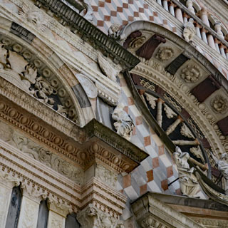
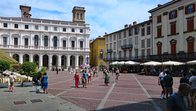
For my off-day (getting used to the time zone shift), I took the train to Bergamo.
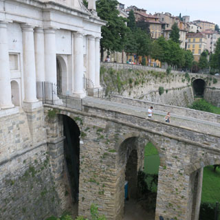
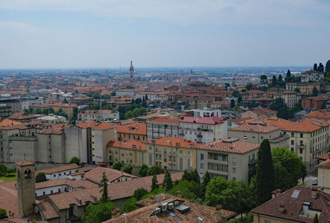
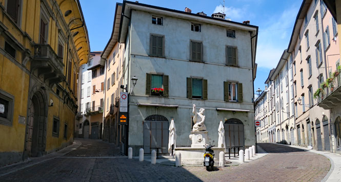
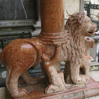
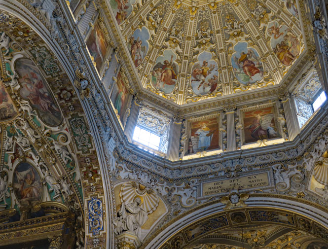
The oldest section of Bergamo is on top of a steep hill (protected by a fortress-wall), with a long view of the rest of the city and across the wide Po Valley.
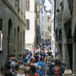
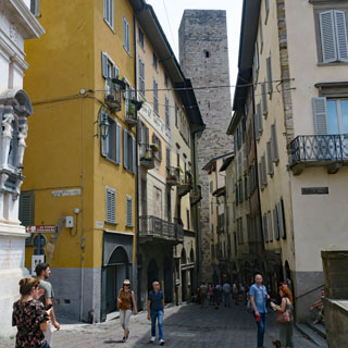
Turn a corner, and you might be part of a great throng of tourists. Turn another corner, and they're gone. That's odd; perhaps they're all following the same guidebook.
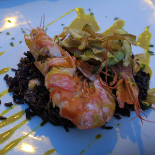
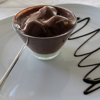
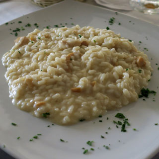
Risotto is a staple in Lombardy. The other chocolate thing? I'm not so sure...
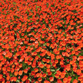
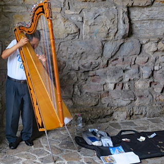
This harpist was really amazing. Mostly, he played Italian folk songs, I believe. The poppies were around what was clearly once a war memorial; now, just the poppies remain.
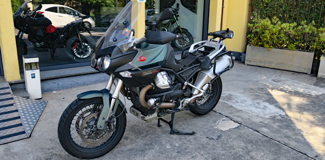
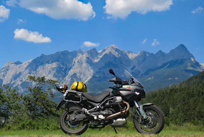
At Mandello del Lario preparing the new Stelvio for the trip.
In the photograph, the seat is off. I use the storage space below the seat to hold my small electric air pump. Tools are kept in a pouch strapped to the handlebars. Additionally, I attach the GPS to a ball-joint-mount on the bars and strap the SPOT locator to the rear rack. The wire harness for the electric vest (and pump) is connected to the battery leaving the outlet just below the seat. As always, the saddlebags and rear box are left behind; I don't need them.
 Switzerland
Riding through the Gotthard tunnel is always unpleasant, but if you want to make good time through Switzerland, it's the best way. In the middle of the long tunnel the temperature was 103 degrees and my eyes were suffering from the fumes. People in cars probably wouldn't notice any of this. I was glad for the cool, fresh air at the other end.
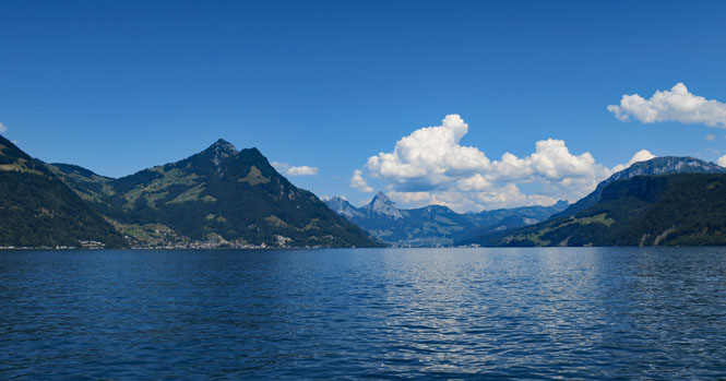
Lake Lucerne.
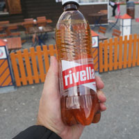
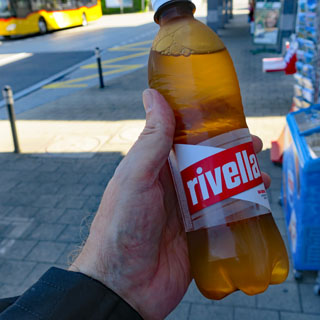
Enter Switzerland, have a bottle of Rivella, and, then figure out where you're going next.
 Germany
Riding the Autobahn isn't much fun, but I wanted to start the trip with a good cushion of time.
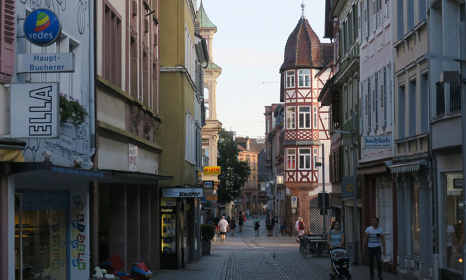
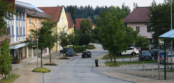
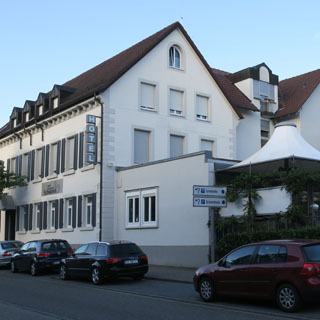
Lahr, Germany. I wanted find a hotel in a town that wasn't right on the Autobahn and was large enough to probably have a decent place to stay--but, not a large city. This was perfect.
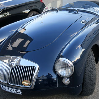
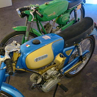
The owner had a small collection of lightweight Italian motorcycles in the lobby. This is his rare twincam MG.
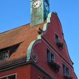
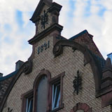
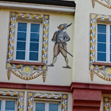
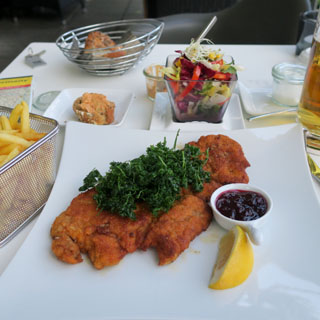
My first German dinner had to be schnitzel.
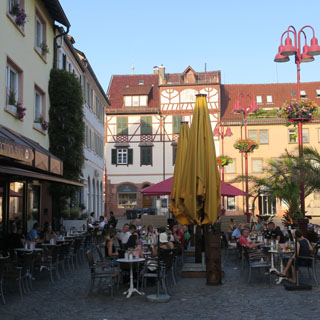
 France
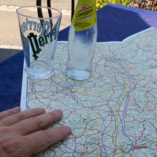
Philippsbourg, France. Schweppes tonic water has always been my riding drink-of-choice when it isn't water. As always, I carry a liter bottle of water with me. I'm cutting across a corner of France to get to a part of Germany that I've not been.
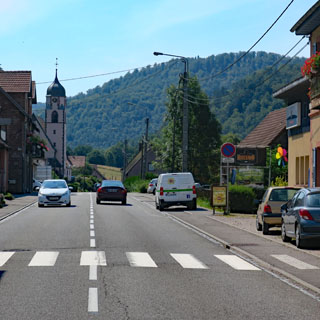
These gun emplacements are common around here. They'll be here for centuries to come.
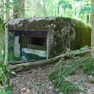
Bitche, France.
It's a beautiful day for riding across the French countryside.
 Germany
A view towards Morbach. I've been off the Autobahn all day.
Bernkastel-Kues on the Mosel River. No matter where you cross the Mosel, you'll be running several switch-backs getting down to the river, and the same going up the other side. This is wine country, and there are vineyards on both sides of the river.
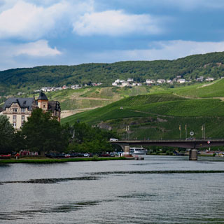
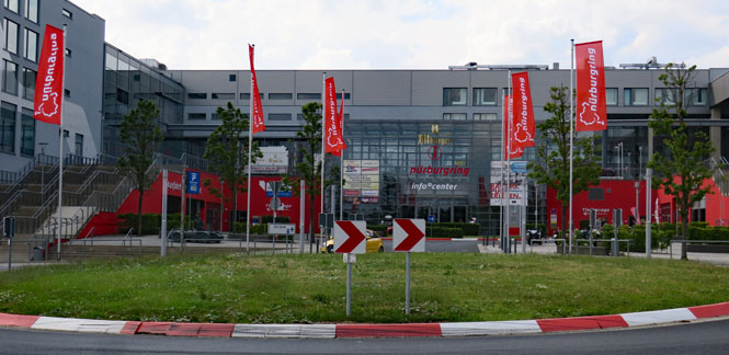
The Nürburgring. I've no idea how much it costs to do a lap on this historic track. There are some remarkable cars on the surrounding roads. Evidently the local enforcement is casual about enforcing the traffic rules. The track, too, is considered part of the road system, although your insurance company might not be so agreeable.
Altenahr, Germany. This town has been bypassed by the main highway (not to mention the Autobahn not much farther away), but it still supports quite a few hotels. In its day, that castle must have been an intimidating presence over the town.
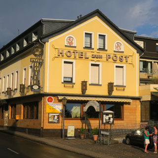
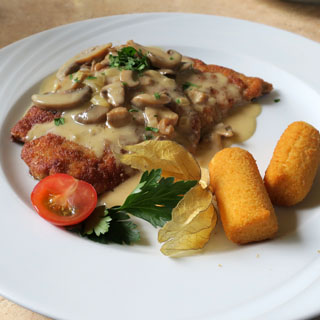
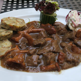
I can't have schnitzel every night, can I? This has mushrooms, so I guess that's a difference.
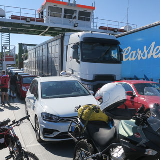
If you're downriver from Hamburg this ferry is how you'll cross the Elbe.
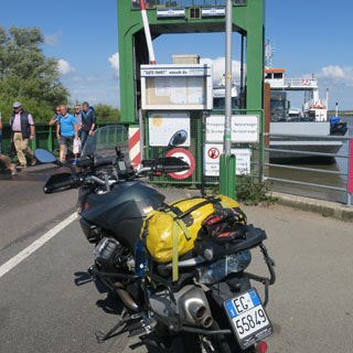
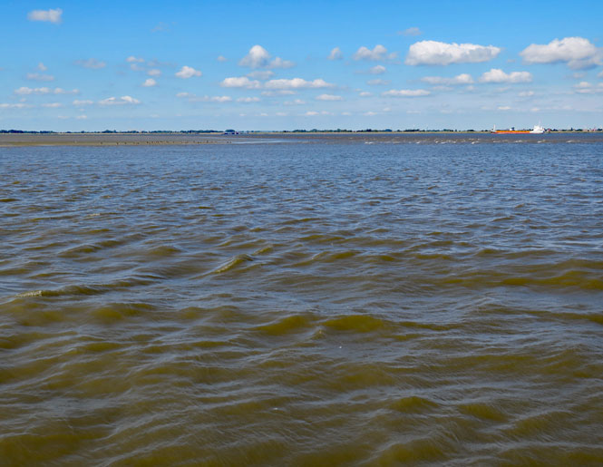
The Elbe River. Notice the sand bars; I'd imagine that this can be a tricky river to navigate.
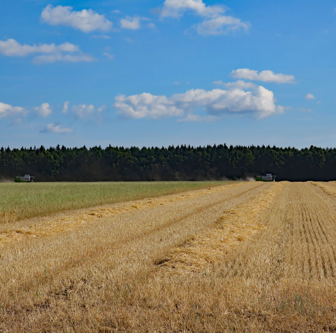
Two combines at work.
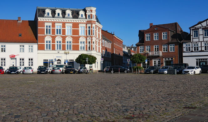
Rendsburg, Germany. I parked on these cobblestones and walked up that street to find a hotel. The first (and only) hotel I found was full, but the manager sent me to another that was just on the other side of the plaza.
It turned out to be a good one. The building was once a large house, but it has been a hotel for many years.
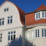

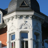
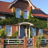
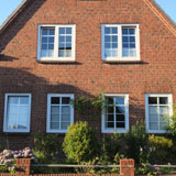
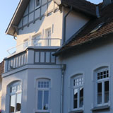
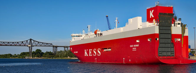
The Kiel Canal, formerly known as the Kaiser-Wilhelm-Kanal (1895), and the Rendsburg High Bridge (1913). Ships can avoid going all the way north around Denmark to get to the Baltic Sea by using this canal. Evidently new ships are especially designed to meet the size limitations.
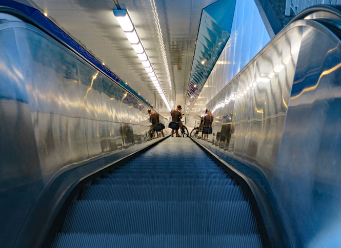
This is the escalator to the pedestrian tunnel under the canal.
 Denmark
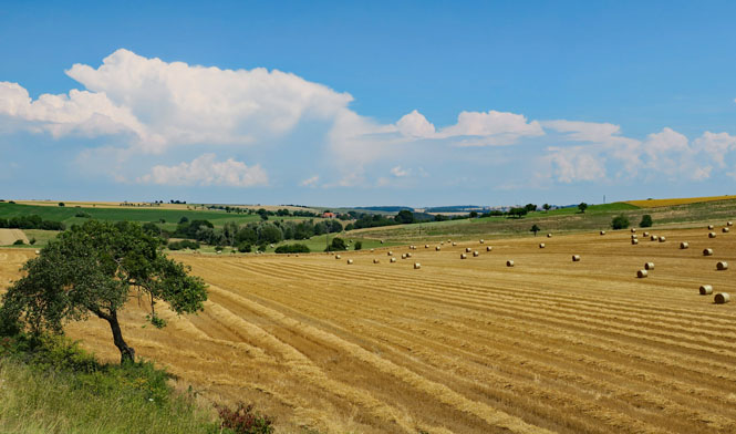
This part of Denmark is largely agricultural...
...and, flat.
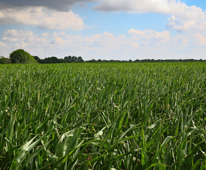
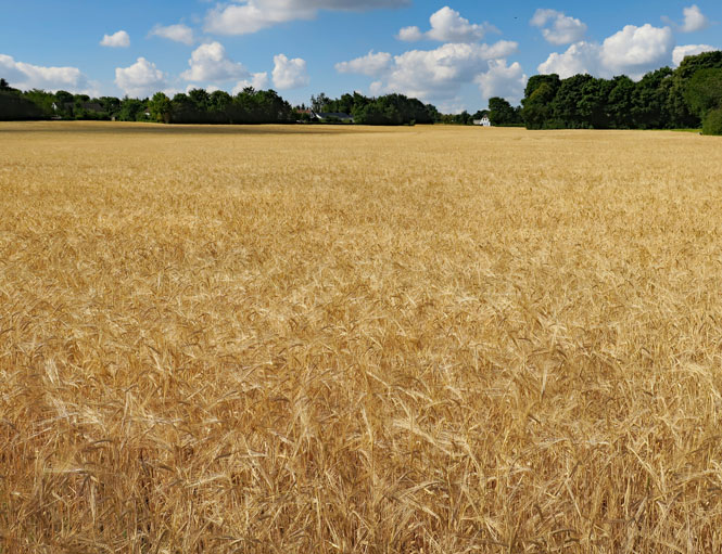
It looks like barley to me.
Gram, Denmark.
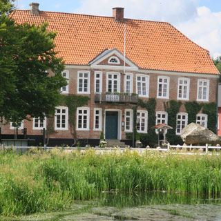
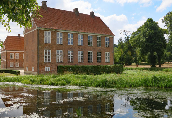
Gram Slot (castle) dates from around 1470.
I passed through Gram during a car boot sale (or whatever these things are called in Denmark).
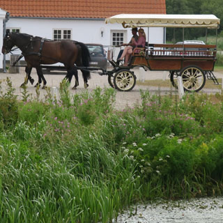
Rødding, Denmark.
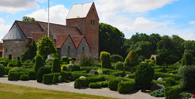
This arrangement of a church with well-trimmed shrubbery and a cemetery is pretty common and you'll see it also in Norway and Sweden.
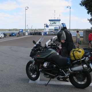
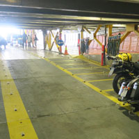
There are just two motorcycles waiting for the ferry. There is a lot more water in Denmark than bridges to span it, so unless you stay on the main highway, you'll be using plenty of ferries.
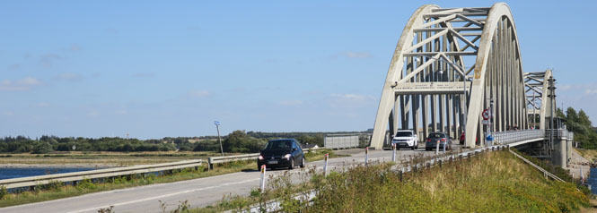
Aggersund Bridge, built by Germany in 1942 as a means to rush troops north to defend against any allied invasion of Denmark (Jutland to them).
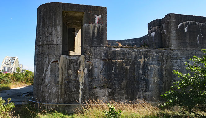
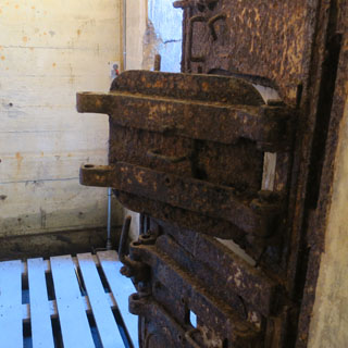
The new bridge was critical, so a bunker (containing a 20mm anti-aircraft gun) was installed to protect the bridge along with nearly 200 German solders who were stationed here.
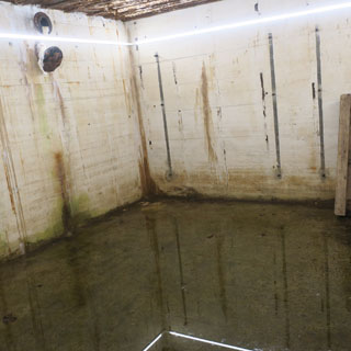
It had to be built higher than normal due to the rising groundwater, but (as is obvious) it wasn't quite high enough to eliminate it without pumps. Consequently, a brick surround was used to camouflage the bunker to make it look like an ordinary farmhouse (it's doubtful that the RAF was fooled).
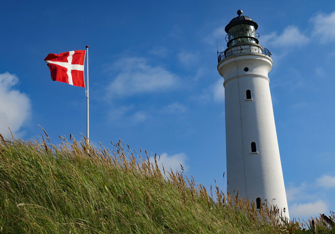
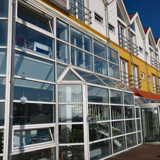
Hirtshals is at the tip of Denmark. I'll spend the night here and catch the ferry in the morning for Norway.
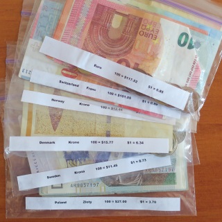
I kept each currency in a separate Ziploc bag and transferred what I'd be using to my wallet in the morning. It's good to have cash, but the most useful thing I had was a cash-card that was true PIN-and-chip capable (unlike U.S. credit cards) and worked in every self-serve station on the trip (which was all of them in Norway and Sweden).
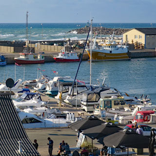
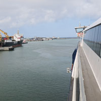
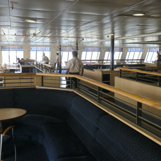
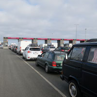
I'll be on a fast-ferry, which cuts hours off the usual sailing time.
 Norway
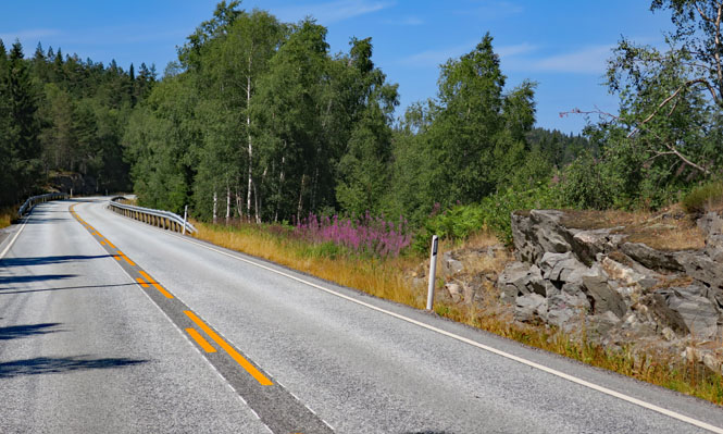
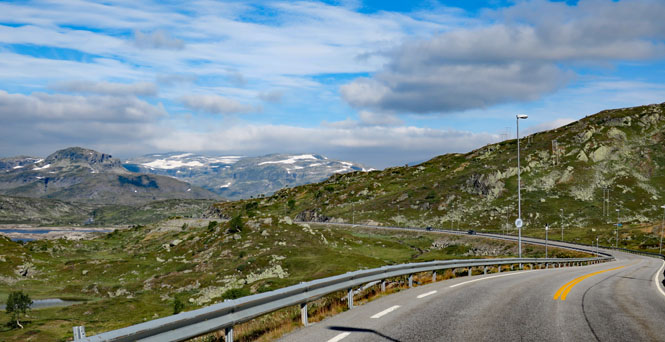
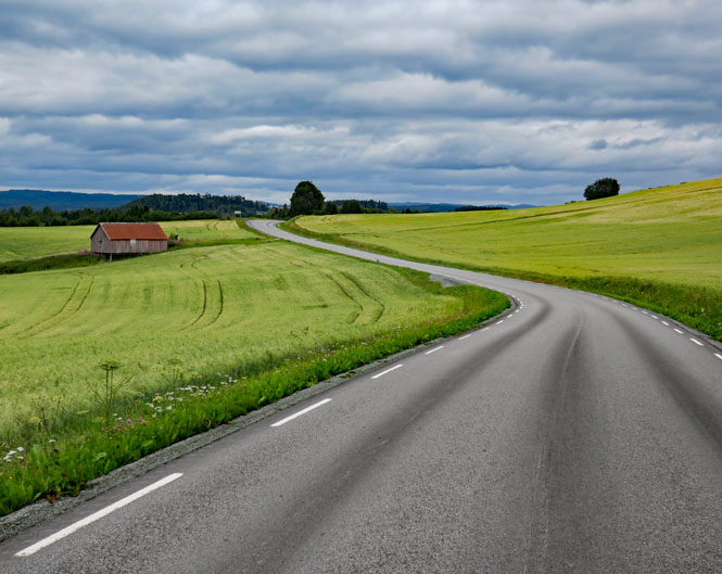
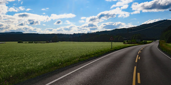
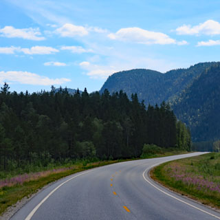
Norway uses (almost) the same road striping system (including the colors) as the United States.
Eikelandsvannet (lake). I didn't spend any time in Kristiansand (the ferry terminal), but immediately headed north.
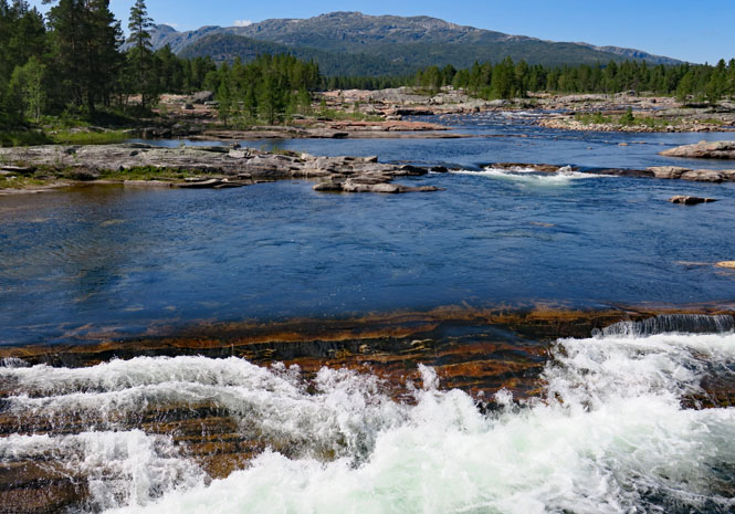
The Otra River. Many of these rivers are quite wide and clearly flow a great deal of water during certain times of the year.
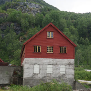
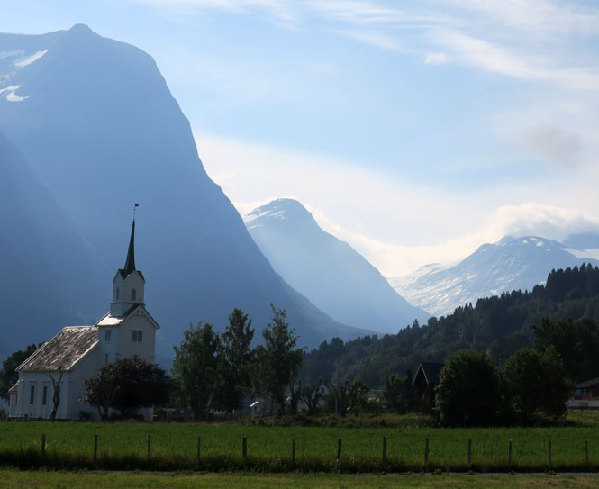
Part barn and part house, this church is identifiably Scandinavian. The red door is a common detail.
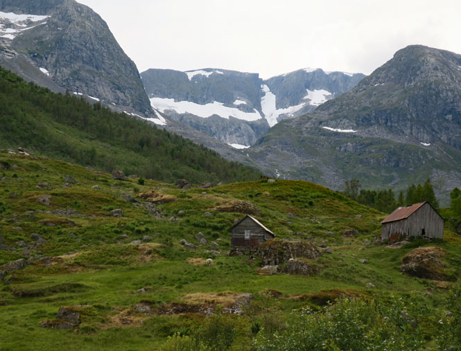
This farm has all the key buildings in one spot. The barn on the right would still have access even with very deep snow.
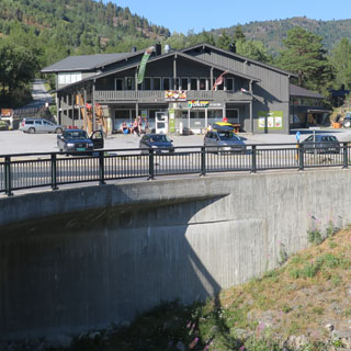
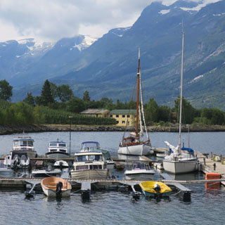
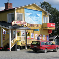
Haukeligrend, Norway. The building you see (below, left) is a small store. The hotel is just behind it. Sometimes things (and signs) aren't as obvious as you'd like.
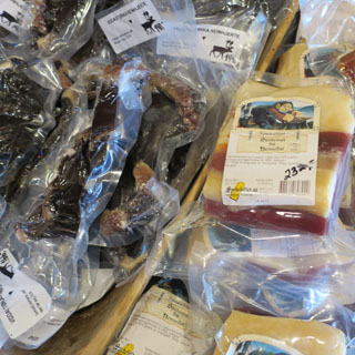
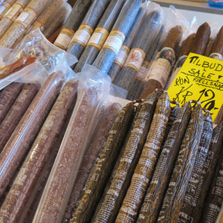
All sorts of food items can be made from reindeer; here are a few.
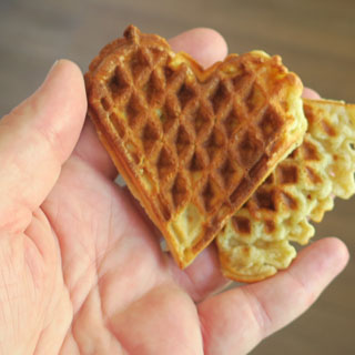
These small waffles are common. In this case, there's a plate of waffles to go with the large pot of coffee in the hotel lobby. It's all available for the guests. I'll note that the farther north you go, the closer the standard cup of coffee matches what you might be used to in an America diner. Of course, it's possible that Italian tourists are not happy with the choice of coffee and the huge cups.
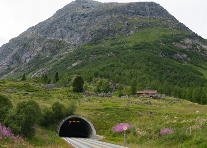
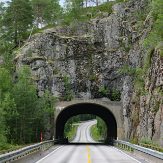
Tunnels are everywhere and are common. A 5 km tunnel is routine as is a tunnel that climbs and turns (in one case a full 360 degrees) before coming out the other end.

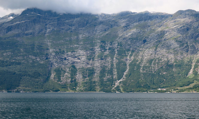
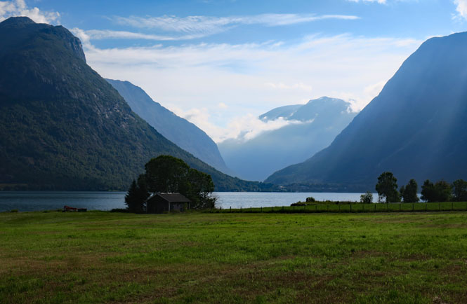
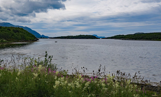
As with a Scotland loch, it might not be obvious if you are seeing seawater or fresh. Look close at the shoreline.
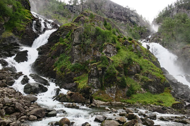
Låtefoss. I've seen photographs where this twin-falls is flowing far more water than it is, today.
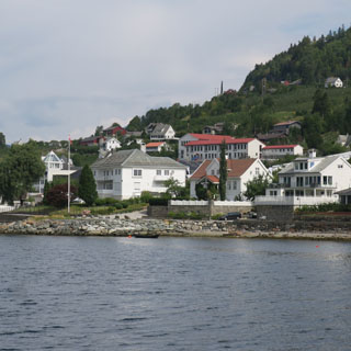
Lofthus, Norway. The ocean may not be near, but this is sea water.
As is the practice in many countries, if the roadway is not wide enough to support two lanes of an approved width, the stripes are only on the sides and never down the middle. It's up to the opposing cars to make space (or seek a turnout). Motorcycles have it much easier.
These sheep are oblivious to people (or cars). They have the right-of-way and seem to know it.
So, how is this going to work? I see no way out...
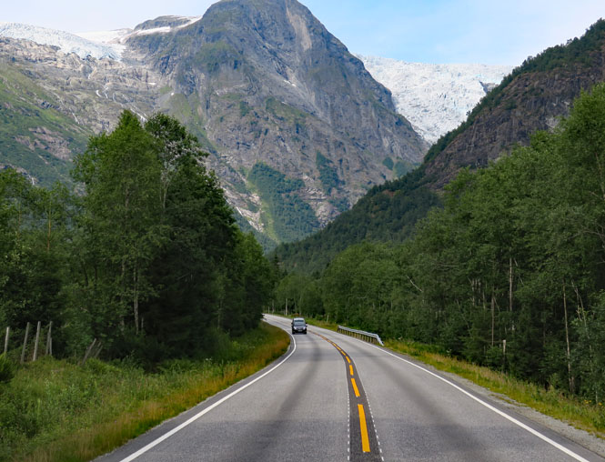
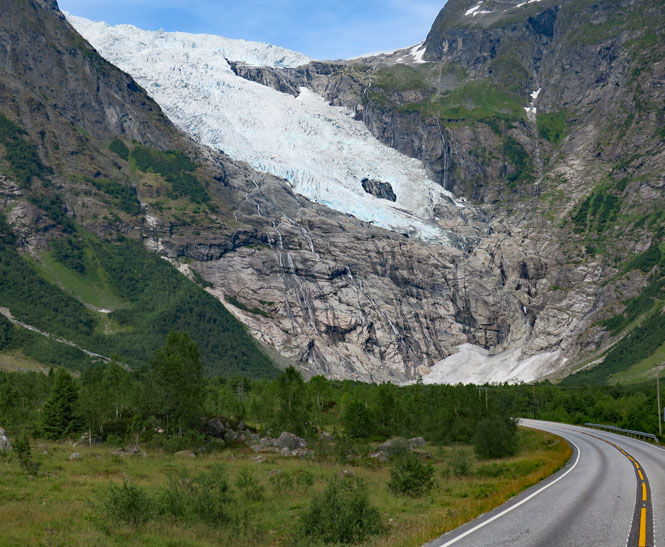
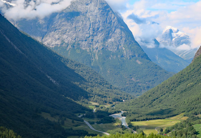
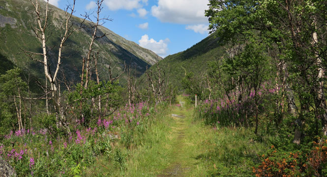
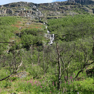
Ah. If the valley ends, then there will either be a tunnel (the usual case) or the road must climb up and out. Yes; it's steep.
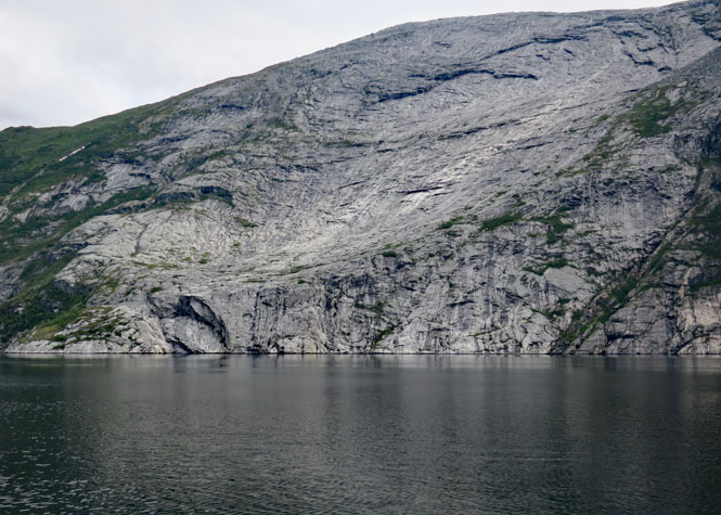
In the above photos, notice the very large boulders in the flat valley floor. Don't assume that the big rocks that are high up the sides won't come crashing down at any moment; they clearly have in the past and they might today.
Stay off the major roads and the traffic drops way off.
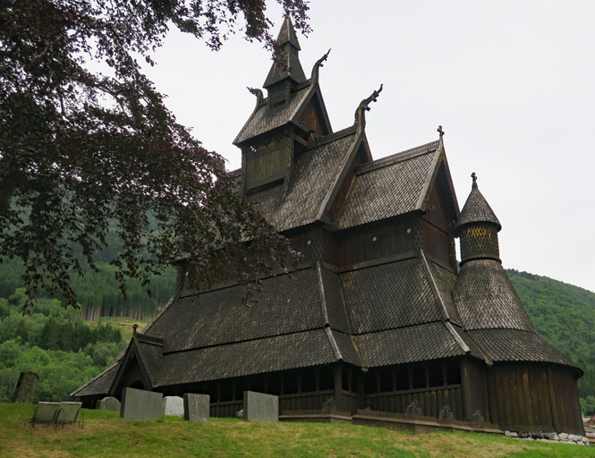
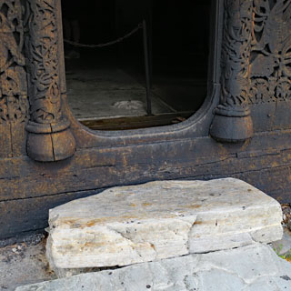
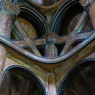
Hopperstad Stave Church. This church was built around 1130 and is one of the oldest such churches to be found.
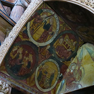
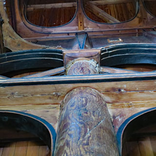
It lacks windows and there aren't many places to let the light in, so it will always be dark, but that doesn't mean it hasn't been fully decorated.
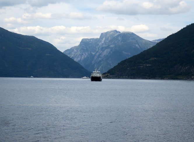
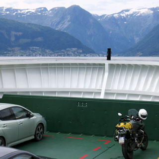
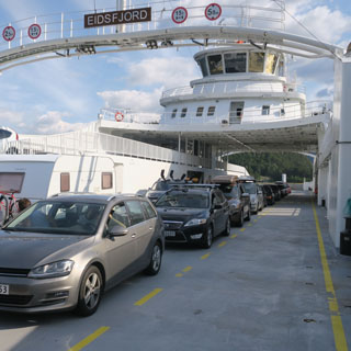
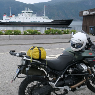
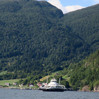
Vangsnes-Hella ferry (across Sogne Fjord). Without ferries, it would be a very long way around some of these fjords. And, without tunnels, working your way up Norway by land could take a very long time.
All ferries require payment, but it's never very much.
You have to wonder how the civil engineers are going to solve this problem. Climbing out is impossible, so a tunnel is the only solution.
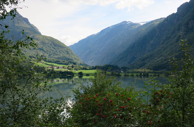
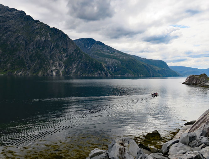
Whether lake or fjord, it's got to be quite deep.
Anda-Lote ferry (across the Nordfjorden).
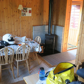
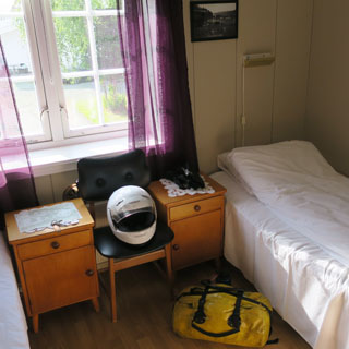
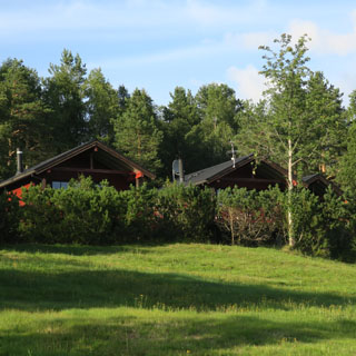
Knausen Cottages, Hornindal, Norway. I can't say I was prepared to stay at this place as I didn't bring any food with me--and there was no town nearby. I also didn't bring any sheets or blankets, but the owner was happy to lend me bedding and a bath towel.
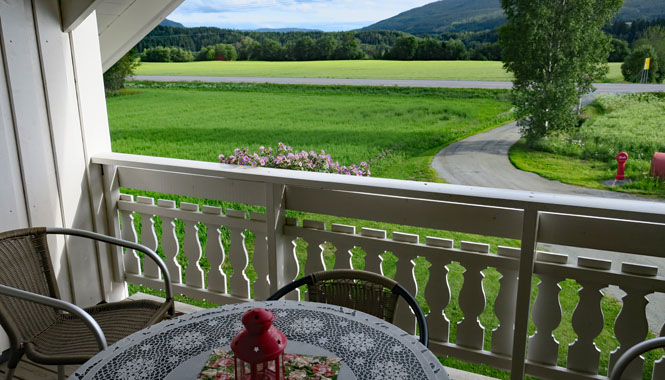
But, the view out my balcony is amazing.
This is a good place to note that in these north latitudes (and this time of year), it never really gets dark. But, there are always heavy black-out curtains, so you can still get some sleep.
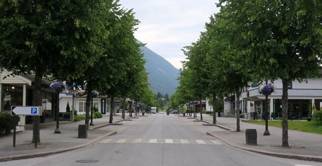
Stryn, Norway.
Strynevatnet (lake).
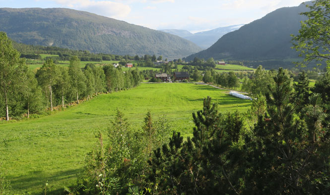
I've just climbed up several switch-backs from the valley you see below. The scale of these mountains is remarkable. You feel them while riding.
Nordberg Kyrkie (1864).
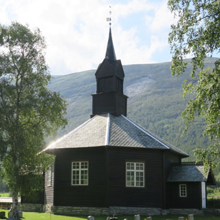
The King's Road. As early as 1182 this road was called the Pilgrim's Road, but in 1704, Fredrick IV came through in his carriage, and it has been known as the King's Road ever since. I only walked it for a mile, or so.
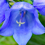
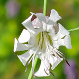

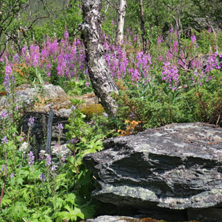
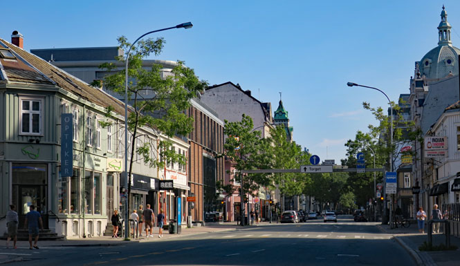
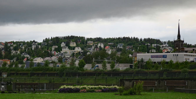
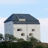
Trondheim, Norway. As with many Norwegian coast towns, Trondheim was extensively damaged during the German invasion of the second world war.
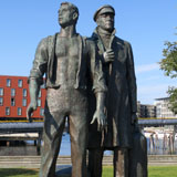
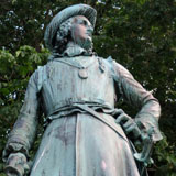
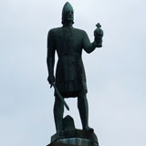
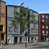

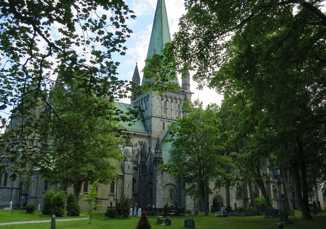
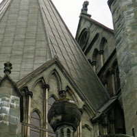
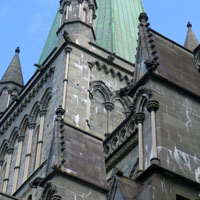
Nidaros Domkirke (construction: 1070 - 1300). This is the most northerly medieval gothic cathedral in Europe.
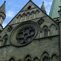
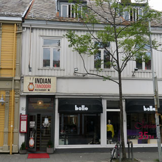
Not many restaurants were open on Sunday, but go through those doors and up the stairs and you'll find a pretty good North Indian restaurant.
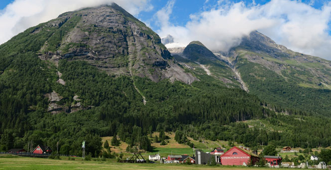
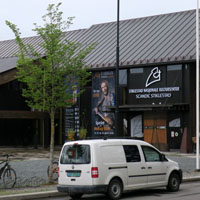
Stiklestad Nasjonale Kultursenter.
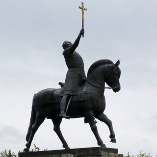
Every child in Norway knows this place. In 1030, King Olaf II of Norway was killed here. As the years passed, the true events didn't perhaps matter so much, and the myth became reality: King Olaf was a saint who fought and died for Christianity. Christian Norway dates from this. Nidaros Cathedral (seen above) was built on the king's burial site. King Olaf is now the patron saint of Norway.
Incidentally, King Olaf's half brother became King Harald III. He died fighting in 1066 at the battle of Stamford Bridge in England fighting the forces of King Harold (who was having a really bad year), pretty well ending the Viking age.
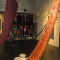
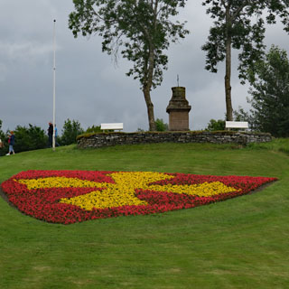
A view of the battle site.
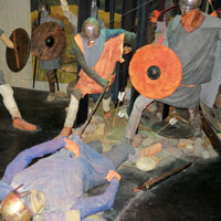
Going into battle looking like that is a sure way to get yourself killed. He was, of course.
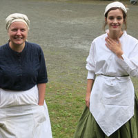
There's a good sized historic settlement (mostly replicated with historic buildings) as part of the cultural center. I was there at the right time and was able to pester these two with all sorts of questions that the museum failed to answer.
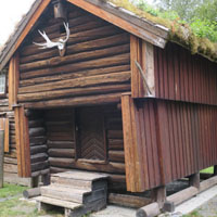
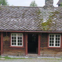
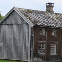
Valgkirke, on the battlefield ground.
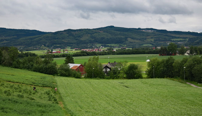
A typical long-house (my name). These long, thin farmhouses are common in this part of Norway.
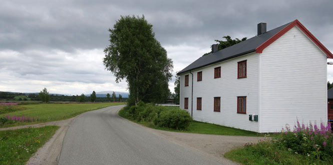
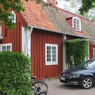
Most houses seem to be red, but this one is white. The proportions are the same; perhaps over the years, and with new generations, you just make the house longer and longer to fit your needs
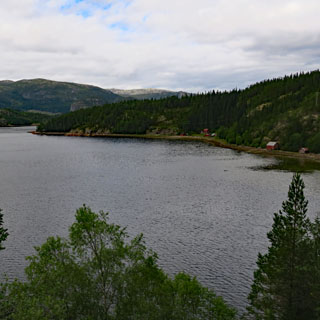
This is an inlet from the ocean, which isn't really that close.

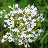
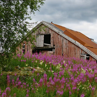
Where the river meets salt water. It depends on the tide, of course, but Salmon coming up stream will need to leap in order to continue their journey.
The Grong, Norway, Guesthouse. This was once a farmhouse, but now it is exclusively a guesthouse--perhaps the best on this trip.
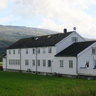
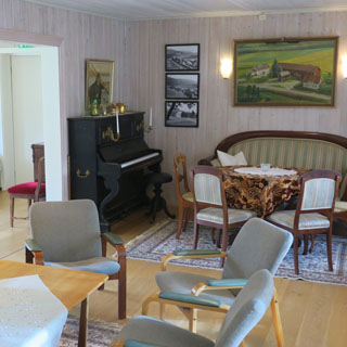
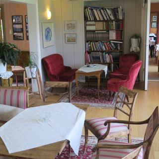
There are plenty of nooks and rooms on the first floor to read your book or to spread your maps (which is what I do every night).
The view over the balcony reaches to the river. It's an easy walk.
There must be plenty of fish in that river as there were a number of guests (all from England) who were up early the next morning to catch them.
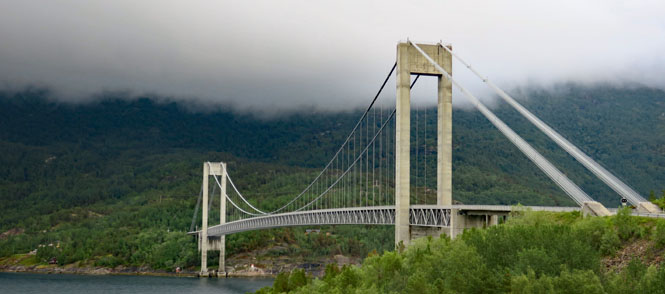
From bridge to tunnel without a gap, road building isn't easy around here.
The Holm-Vennesund ferry (Roingen).
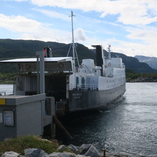
I've begun to have a real appreciation for waffles. It's something of the Norwegian equivalent of a Devon cream tea (where scone, clotted cream and jam have their Norwegian counterpart)
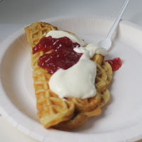
The ferry landing.
House or barn? It's not always clear, but in this case, I'm pretty sure that's a barn. I guess they couldn't decide if it should be red or white.
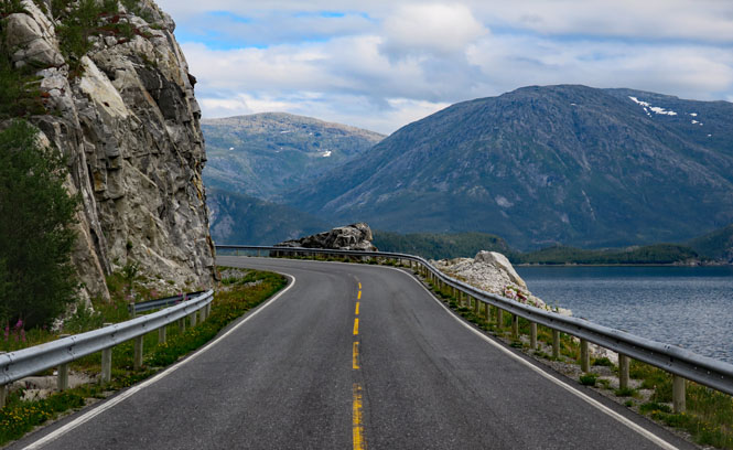
It's cool, but dry (at least mostly). Perfect weather and a beautiful road.
I believe this tunnel was close to 9 km long. When you come out of these things there's often a period of disorientation when you're not even sure which direction you're going.
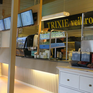
Stopping at the Trixie roadside stop for something to eat. This is about as close to fast-food as you'll find.
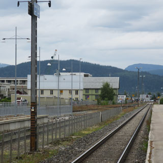
Mo i Rana (people who live here just call it Mo). The town has the appearance of having been entirely rebuilt after the war. Even so, the white church (below) dates from 1724.
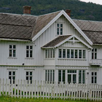
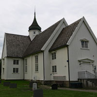
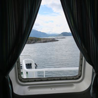
I took this photograph near midnight. Thank you for thick curtains.
Today's ride is one of cold and rain. Lots of rain. I would have taken a photo when I crossed the Arctic Circle (66.6 degrees latitude), but thought it better to just persevere and hope for something better to come along.
I think I'll hang out at this service station and restaurant until the rain lets up enough to be able to see properly
This is better. I don't mind a bit of rain here and there.
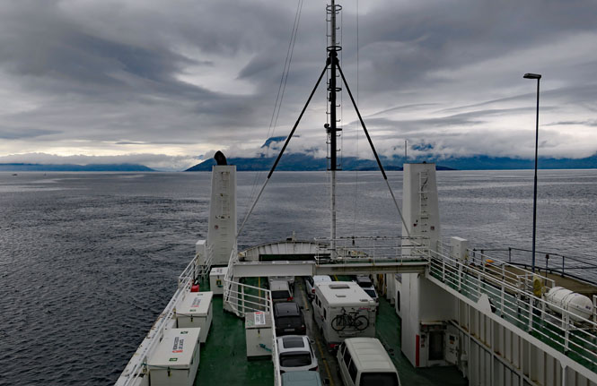
Bognes-Skarberget ferry (Tysfjorden). During the busier season (which this is) more ferries have been put in service, so the wait has never been too long. In this case, I only had to stop long enough to pay the fare before rolling on as the last one aboard.
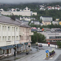
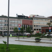
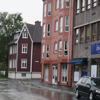
Narvik, Norway. This was an important port during the war (Iron from Kiruna, Sweden) and Narvik was the site of major sea and land battles in 1940, which left Narvik under German control even though the British Navy was the victor of the sea battles.
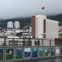
It wasn't hard to find this distinctive hotel.
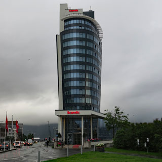
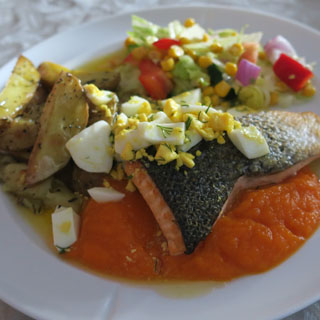
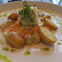
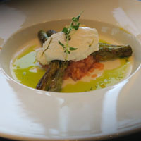
I wouldn't say the food was inexpensive in the hotel restaurant, but it was good.
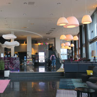
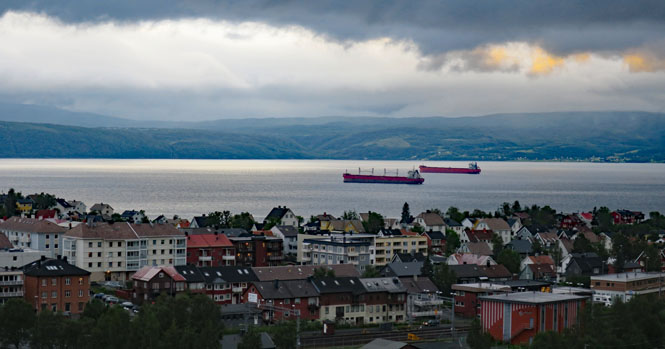
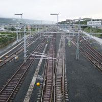
Narvik remains a center for ore shipments by rail and by bulk cargo ships.
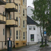
Two ships waiting in the harbor. Apparently, the remains of sunken ships of the Kriegsmarine are still out there.
This was the point where I needed to decide if I wanted to continue north (possibly all the way to the top) or if I should turn towards Sweden and start my ride south through that country.
Other than being there, I didn't seem much point in visiting Nordkapp, so I chose to turn east. In any case, going farther north would have used up all the built-in slack I had in the calendar, and I didn't want to do that just yet.
Latitude 68.5 degrees would be as far north as I'd get.
 Sweden
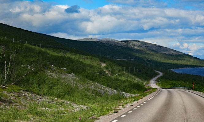
There are a handful of paved roads that cross the Scandinavian Mountains; E10 is what I'm on. It roughly follows the route of the railroad that connects Kiruna to Narvik, so it's a fairly easy route with just a few steep grades near the summit.
Torneträsk (lake).
Sweden follows the paint scheme of most of the rest of Europe, so you'll not see yellow stripes down the center as you do in Norway.
Torneträsk (lake)
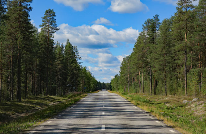
This road is surprisingly empty. The day is beautiful.
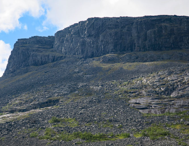
Amazing cliffs. Are their mountain goats up there? Likely not. But, there are plenty of reindeer down closer to the road. Stupid animals, really. They aren't in much hurry to get out of your way. Several times, I slowed down to a walking pace and just weaved through them. I'm told they're licking the roads for the salt.
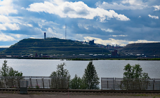
Kiruna, Sweden--the northernmost town in Sweden and the source of Iron that caused all the trouble back in Narvik, Norway. Iron mining remains a significant industry.
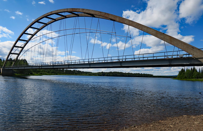
I stopped for lunch in Lappeasuando on the Kalixälven River. The bridge dates from the 1930s and replaced a ferry.
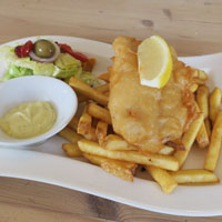
Fish and chips. Is this the universal road meal?
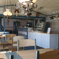
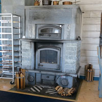
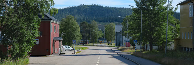
Gällivare, Sweden is another mining town. You'll see people and hear languages from all over the world. The winter conditions might be harsh, but you can probably save a fair amount of your pay.
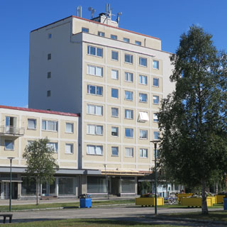
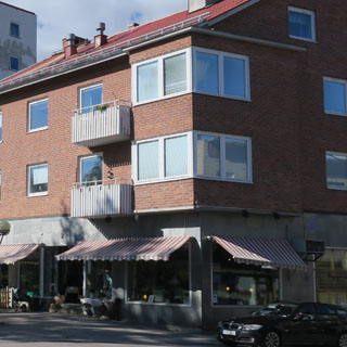
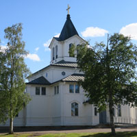
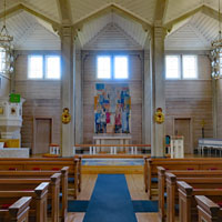
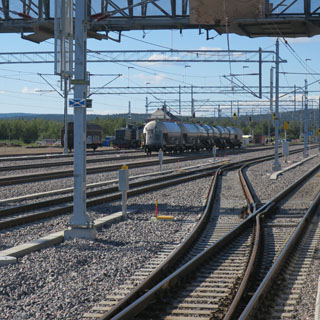
Most of the rail traffic is freight (ore), but there are passenger trains that service this town and Kiruna.

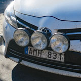
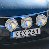
With plenty of (stupid) reindeer on the roads and not much light in the winter, it only makes sense that nearly all the cars in town are well-equipped with lights.
A lot of miles look like this. There are mountains that have turns and fairly steep grades, but mostly it's just like this.
Porjus, Sweden.
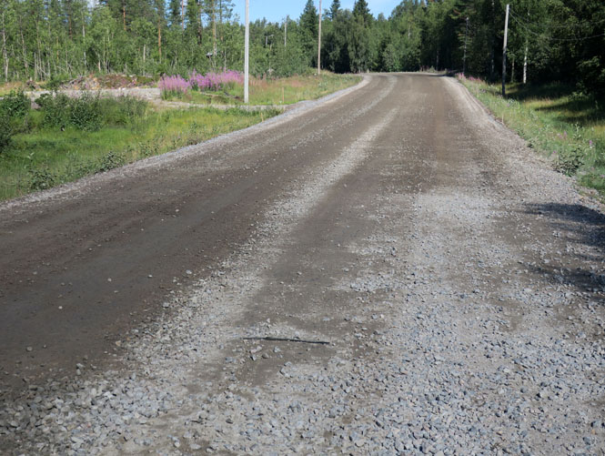
It isn't surprising, but when roads need to be repaved, they do it all at once. They don't have the luxury of just closing half the lanes. I think I probably rode about thirty miles total of this sort of thing. Nothing too bad, but then it wasn't raining, either. The worst sections were full of deeper larger gravel that you see (below). When large trucks came the other way, I'd dip below my windshield trying to avoid the inevitable rocks (that only hit the top of my helmet).
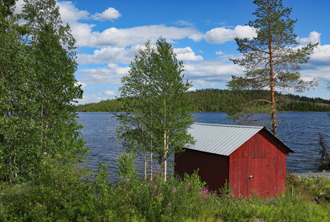
Few cars; just lock your wrist on cruise. The difference between Norway and Sweden is quite pronounced. Trees here, not much over there. Fjords over there, not here.
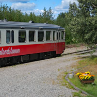
Moskosel, Sweden. That single-car train (I'm not sure "train" is an appropriate word for this self-propelled rail car) serves the little towns. You don't really need to drive great distances; take the train. I'm stopping for lunch at the little cafe next to the tracks.
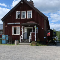
Skarvsjön (lake).
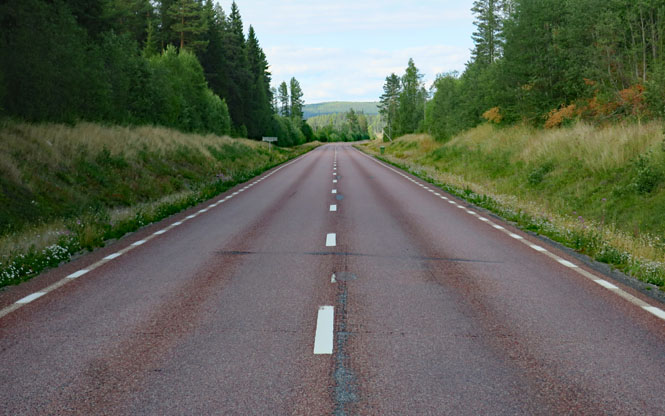
It's hard to tell in the photograph, but the asphalt is red. That once was somewhat common in parts of the western U.S., but it's less so, now.
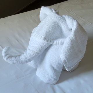
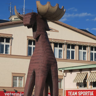
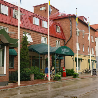
Strömsund, Sweden. This is the best towel-art I think I've seen on a hotel bed. A flower is the usual thing; but, this elephant is made from two towels. I hated to mess it, but if I want a towel...
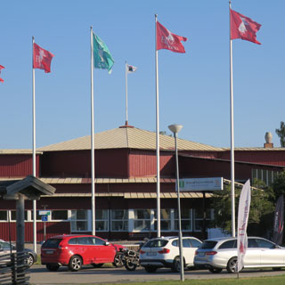
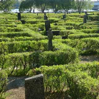
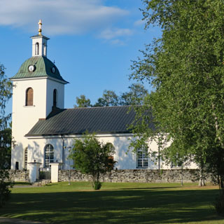
Norway and Denmark have shrubs that make a church cemetery look like a maze, and so does Sweden.
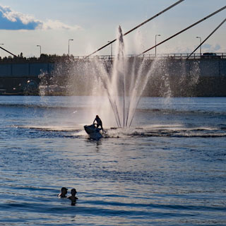
The map says this road goes all the way to another highway; it's clearly shown. And, certainly, you wouldn't think that a road this nice would just come to an end.
...but, you'd be wrong.
Storsjö, Sweden.
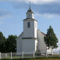
The pavement ends. This doesn't look too bad, but checking my GPS map (more accurate than the paper map) I'm not convinced I'll get to where I need to be. Anyway, I see clouds.
Let's turn around. If you look at my route on the large map that begins this report, you'll see the spur that this out-and-back has created.
A broad river that is more swamp than river for much of the width of the valley.
Walking into the grass to get this photograph, my boots are sinking about six inches with each step. This is very moist ground (and likely hard as a rock in the winter).
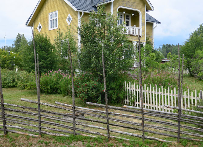
Notice the distinctive fencing. It's pretty common.
Not long after taking the above photograph, the rains started. And, then it really started raining hard. Eventually, I had to pull to the side of the road and step into the dense forest to wait it out. It was just too hard to even see where I was going. I'm glad I didn't make the effort on that dirt road.
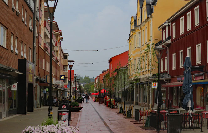
Mora, Sweden. I don't care if it's early, I'm not riding any farther. This is what keeping the slack in my schedule is all about. The forecast for tomorrow is more of the same, so I'll just tell the front desk that I'm planning to stay two nights. Easy. Mora is a nice town.
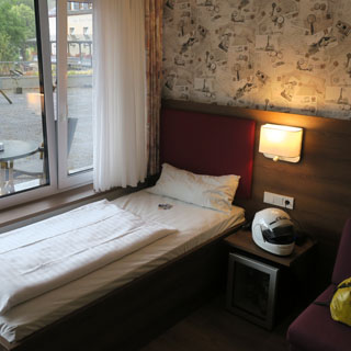
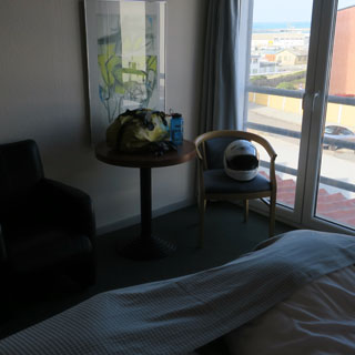
I stayed two nights, but had to move to another room after the first due to conflicts with pre-registered guests. That's fine; both rooms were pretty much the same, anyway.
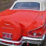
I noticed this the last time I was in Sweden. They like their big American cars. Or at least there are people who do.
Reindeer for dinner, just this once, at least. Tastes like reindeer.
Poor dragons. They're always being slayed. In this case, the slayer has wings, so I know that's the Archangel Michael and not Saint George. Funny thing; these dragons never look all that vicious to me.
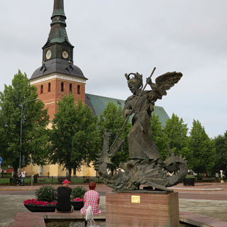
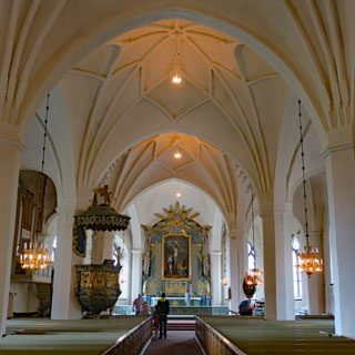
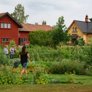
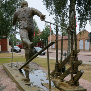
Mora played a big part in the independence of Sweden, and skiing was part of that. This is also the finish line of an important international cross-country race. You'll notice the sculptured fence, just like we saw earlier.
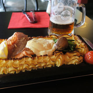
Salmon and baked mash takes the place of fish and chips in this bar.
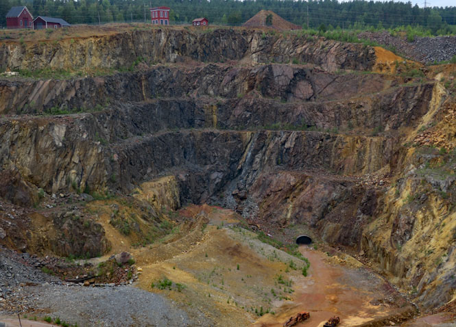
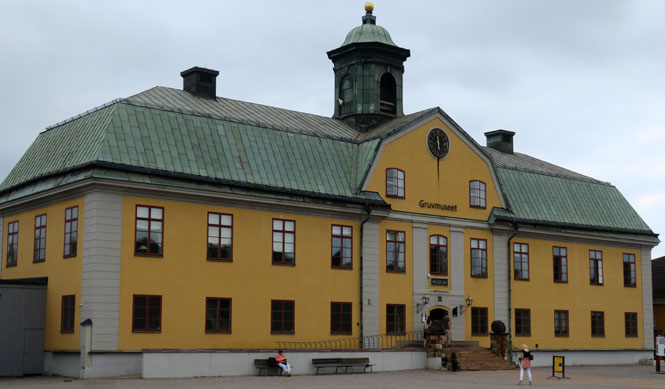
The Falun (Falu Gruva) copper mine. This mine has been active for a thousand years (but, not now). At one time Sweden provided the majority of all copper used in Europe; it was the basis for much of Sweden's wealth.
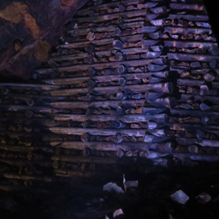
This was not an open-pit mine. The pit was caused by a massive cave-in that collapsed the many tunnels that had been dug over the centuries.
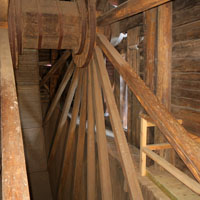
The old pumping technology (to keep out the groundwater) is quite impressive.
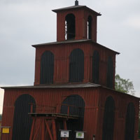
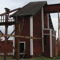
The mine is quite deep, and our walking tour won't take us down any farther than the first level below the surface.
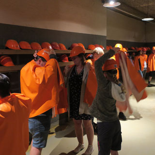
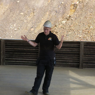
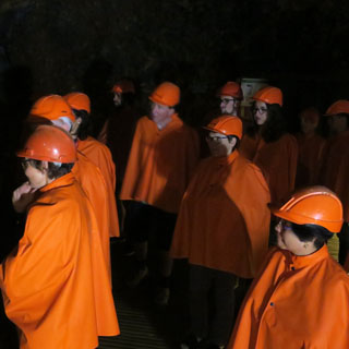
All of us (save our guide) are wearing bright orange capes. Small children wore yellow. I had the solemn duty of bringing up the rear and making sure that all were accounted for. No tourist was left behind.
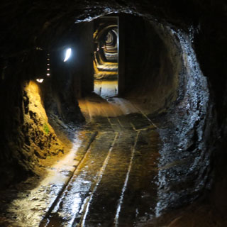
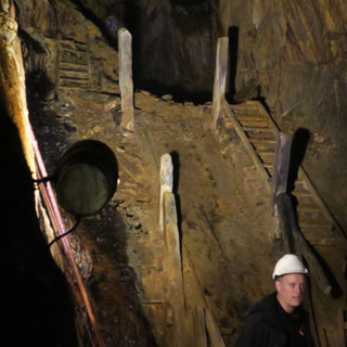
The old mine headquarters is now a museum.
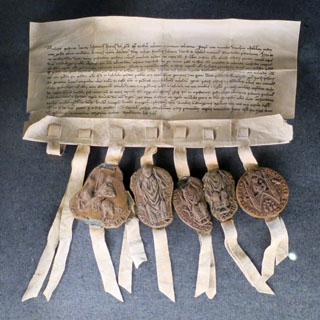
Was this mine the world's first corporation? They have the document to prove it.
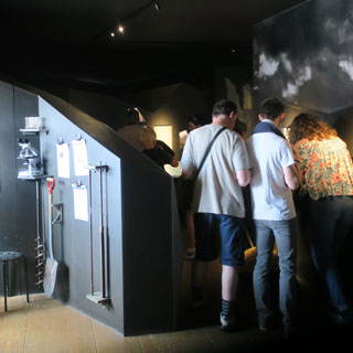
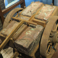
Converting rocks into copper plate is an involved process that requires fire and lots of manual work.
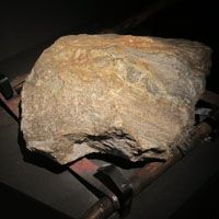
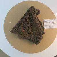
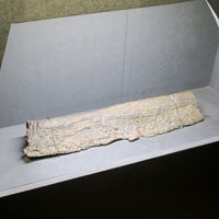
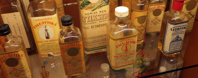
It isn't just copper plate that was produced. Many chemicals came from the mine, as well.
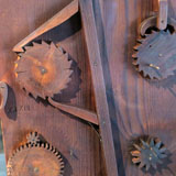
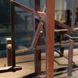
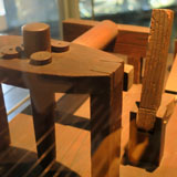
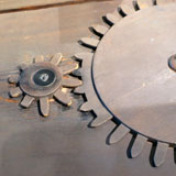
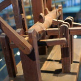
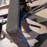
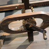
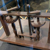
The mine ran an engineering school and these are just some of the teaching tools to cover general mechanisms (any complex machine--such as a clock or a water pump or a crankshaft--is just a combination of these). I was impressed. Some, I hadn't seen and they're pretty clever.
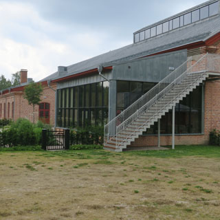
Engelsberg Ironworks ran from the late 1600s into the 1900s. At one time, this would have been the world's highest technology for making iron. Amazingly, the buildings have remained and are now being combined and restored into a national center. The visitor center is not open, yet.
The old furnaces (behind the scaffolding) are being restored.
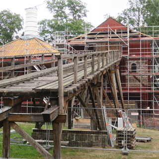
Several of the buildings seem to still be used as residences, which probably accounts for why so many are still intact.
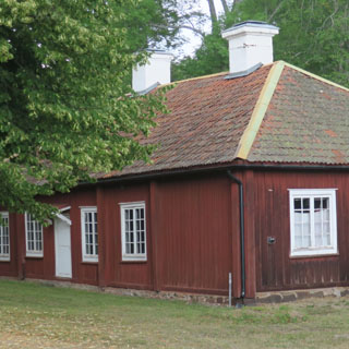
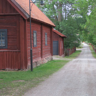
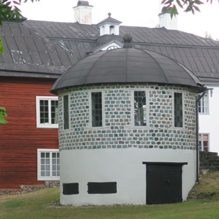
A slag tower and the old mining office.
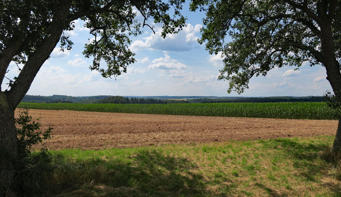
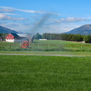
Riding farther south, the forest opens and is replaced by fields of grain.
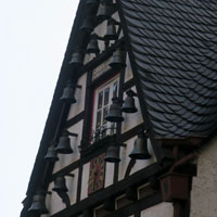
You might have noticed the bell tower in Mora. It's a common thing--the bell tower is a separate building, apart from the church. When you're building with wood, this makes good sense.
You'll see lots of remaining buildings from the old industrial period of Sweden. It's possible this building is still used as a mill, but it's no longer powered by water.
Skovde, Sweden.
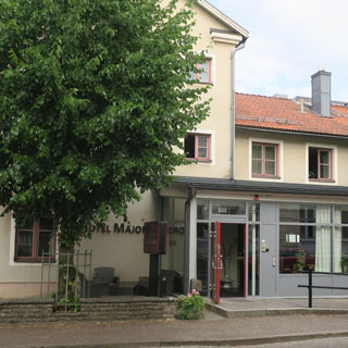
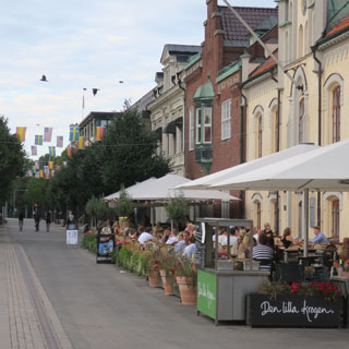
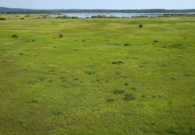
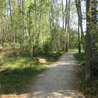
Store Mosse Nationalpark contains the largest bog south of Lapland.
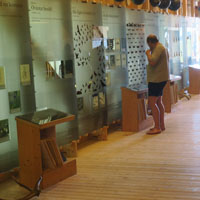
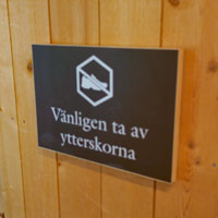
The visitor center requires you to remove your shoes before walking on their nice wood floor. I declined to go through the trouble of taking off my riding boots and didn't enter.
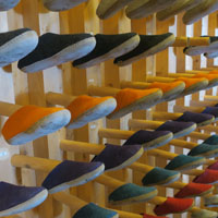

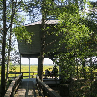
The view from the tall observation tour. There are walking trails that surround the entire bog; this is a popular place for bird watching.
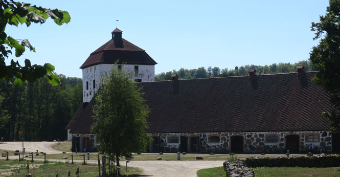
Hovdala Castle (Hovdala Slott). There was a castle of some sort on this site for centuries, but the current buildings date from the early 1500s.
The castle is in Scania, which has been both Swedish and Danish and then Swedish again (plenty of fighting over the years). It was taken by the Swedish state during the war and is now owned by the Hässleholm municipality.
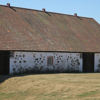
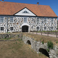
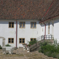
The restoration work is really impressive; they're doing a good job.
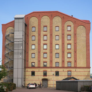
Trelleborg, Sweden is on the Baltic Sea; this is where I'll spend my last night in Sweden. My hotel (below, left) was once used for grain storage. It's handy for me as the same building contains the ticket offices for all the ferry companies, so I had only to walk down from my room to figure out which ferry I would be taking the next morning.
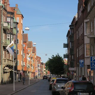
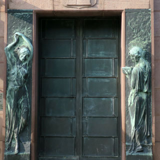
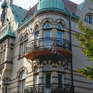
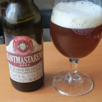
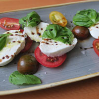
I had a number of choices, but decided to sail to Rostock, Germany instead of Świnoujście, Poland as I had once planned (and which was the reason I carried Poland currency)
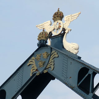
 Germany
Entering the large port of Rostock. There was no passport check at this port, and I rode off the ferry, almost directly onto the southbound Autobahn.
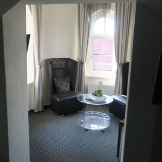
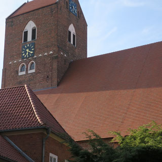
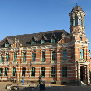
Parchim, Germany. Do you see that open window, just below the tower? That's my sitting area, just off from the hotel bedroom.
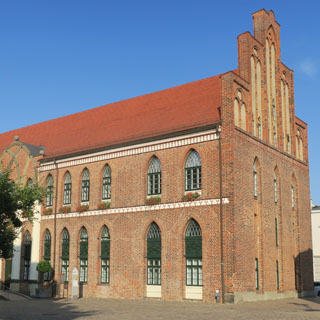
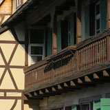
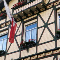
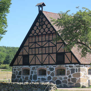
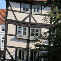
Half-timber construction bends, but I guess it never breaks.
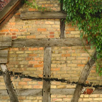
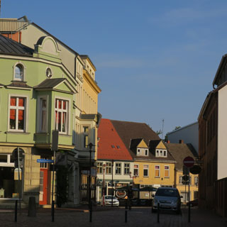
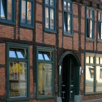
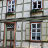
More examples of half-timber construction with some nice brick infill.
...which way?
It's not a question of "where am I?" It's more a question of "where do I want to go, now?" I know where I am, but I don't always know where I want to be when I stop riding for the day.
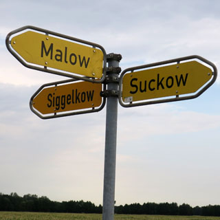
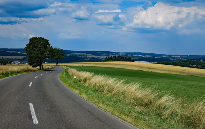
Germany likes solid white lines to edge their roads; Sweden likes to dash theirs.
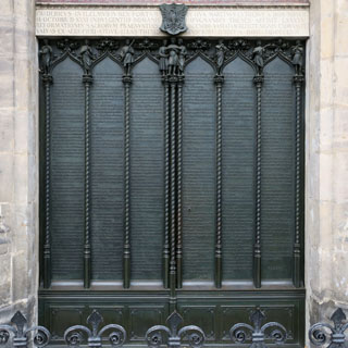
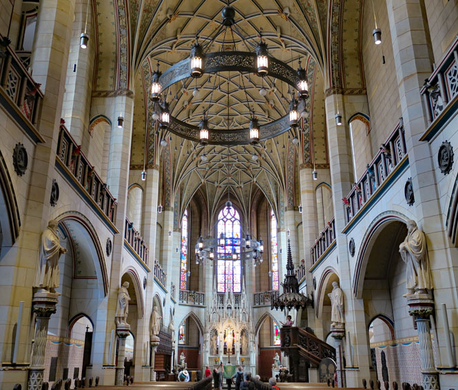
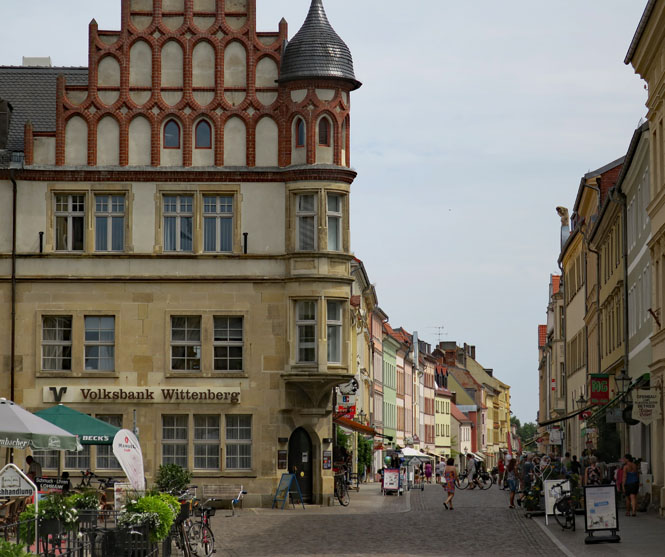
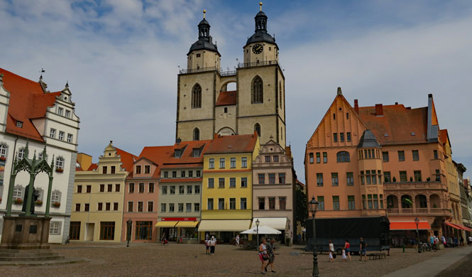
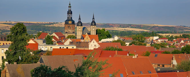
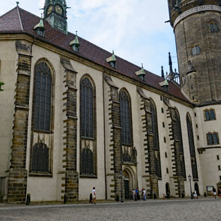
Lutherstadt Wittenberg, Germany. I've unintentionally turned this day into a Martin Luther exploration. This is the town that started the protestant reformation with Luther's ninety-five theses nailed to the door of the castle church. For the western world, this single event changed everything (and started the European wars of religion at the same time)
Schlosskirche and door famous for the ninety-five theses. The original door burned in the 1700s and has been replaced by this version that contains the theses as part of the casting. This one won't burn.
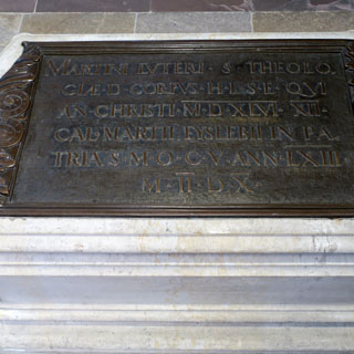
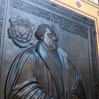
Martin Luther is buried here (below, right).
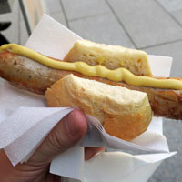
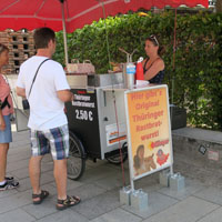
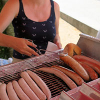
Don't call it a hotdog, it's a Thüringer Rostbratwurst; it was very good. And, don't think of putting anything besides mustard on it (I gather that people are particular about the brand of mustard that should be used--Born Feinkost).
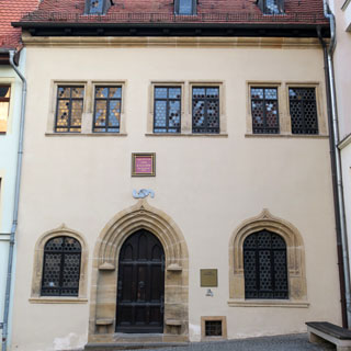
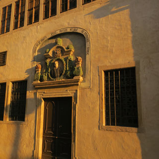
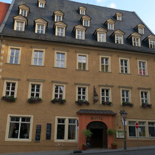
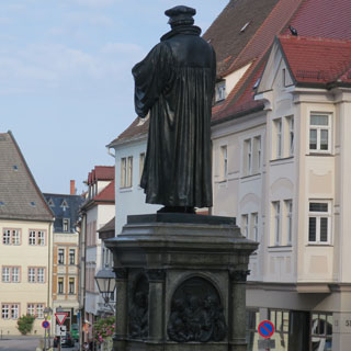
I'm in Lutherstadt Eisleben, Germany to conclude my day of Martin Luther. He was born in this town, he gave his last sermon here, and he died here.
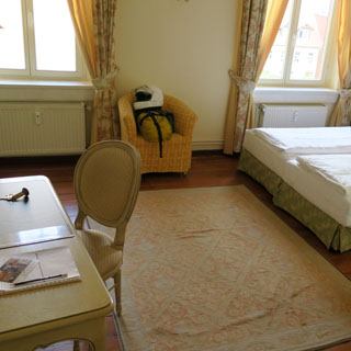
That's my hotel (lower, left).
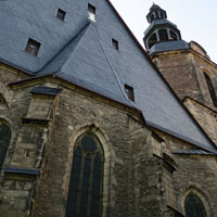
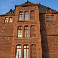
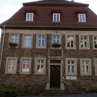
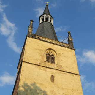
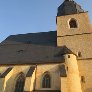
The view of Eisleben from the church where Luther last gave his last sermon.
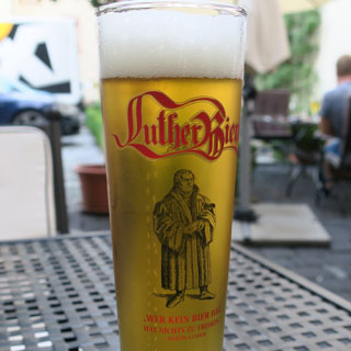
Is there also a Calvin Beer available in Geneva? Probably not. In any case, evidently Luther actually encouraged beer drinking: "Wer kein Bier hat, hat nichts zu trinken."
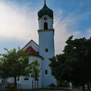
Pottiga, Germany.
Leuchtenberg, Germany.
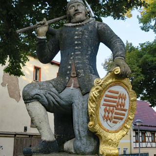
Ritter Allein in der Glucksburg (1368).
Ruderting, Germany.

 Austria
Attersee. You cannot tell by the photograph, but this lake is crowded. There is no parking to be found (I'm on the sidewalk) and there are throngs of people everywhere.
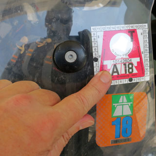
Switzerland requires that you buy a sticker for an entire year if you want to use their primary roads for even just a day (I bought the one you see a few weeks back for another trip). Austria, at least, offers a sticker for as little as ten days. You likely will never be caught, but I don't think it's worth the risk of all the bother that would result.
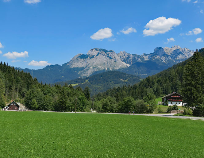
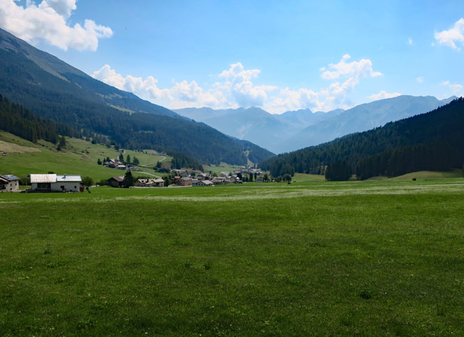
Out of the lowlands and into the Alps. It's much cooler up here.
Krimmler Wasserfälle, the highest waterfall in Austria.
I've been on this road before, but I was going the other way back then.
Zell am Ziller, Austria.
I think in the winter the train would be the best way to get here from Innsbruck.
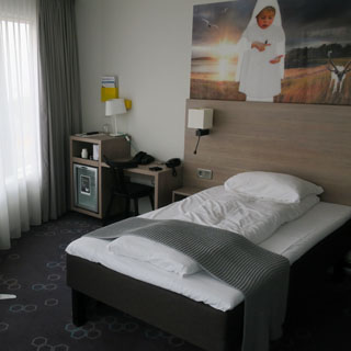
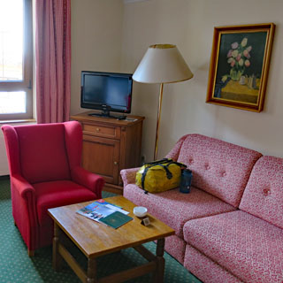
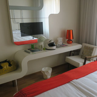
My hotel room is right out of the 1950s.
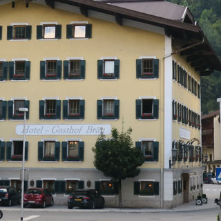
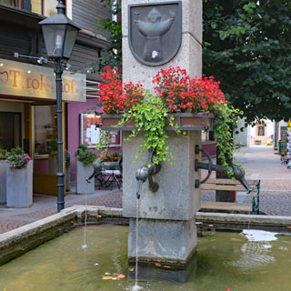
Climbing out of Austria towards Italy and over a new pass (for me).
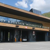
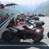
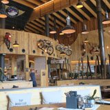
Near the top is a surprisingly large motorcycle museum as well as restaurant.
 Italy
Italy
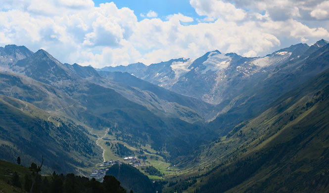
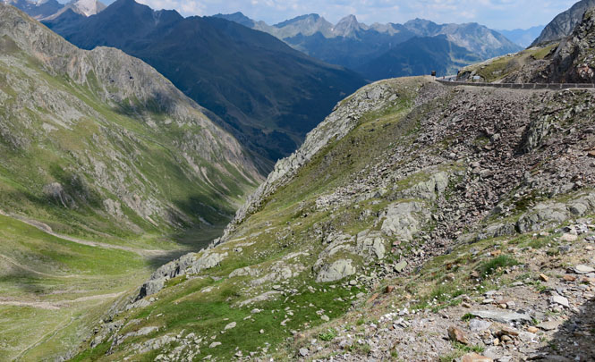
Timmelsjoch / passo Rombo. As is often the case with Alpine passes, the Italian side is much tighter and steeper than the Austrian side.
The old Roman path (below, left) is more direct.
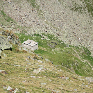
The road would have been more enjoyable with fewer cars coming the opposite direction. The hairpin turns are often zero-radius, and meeting a car can be troublesome.
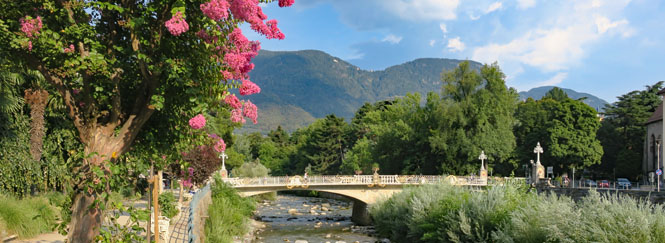
Merano, Italy.
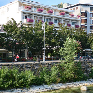
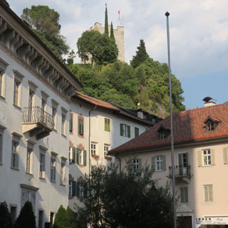
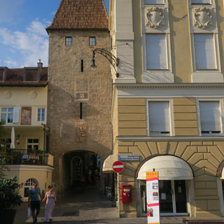
It's a nice old town; it's been a resort destination for centuries and probably was as well for the Romans. The place seems more Austrian than Italian (and has been both) in its history.
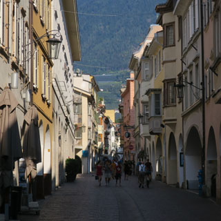
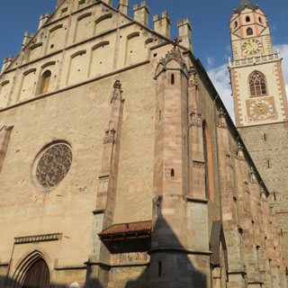
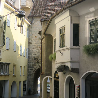
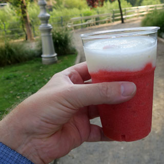
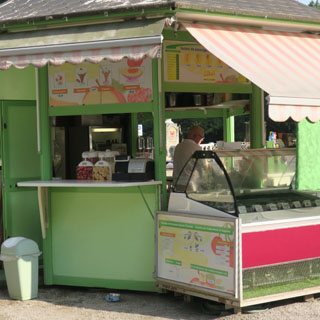
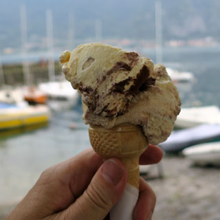
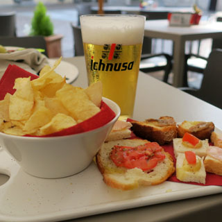
Should I have limone or fragola? The man decided for me: you'll have both.
 Switzerland
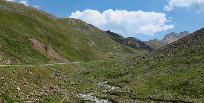
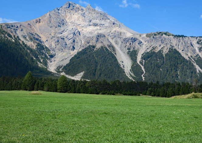
Starting up another new Alpine pass that I've somehow missed over the years of riding here: Ofenpass, connecting Engadin valley with Val Müstair.
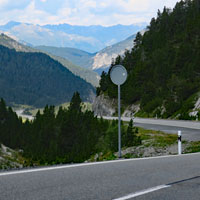
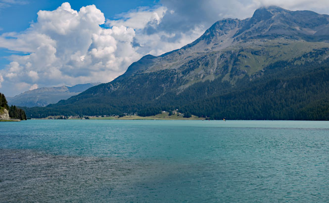
Lej da Silvaplana. You've got to love the colors of any glacier-fed lake.
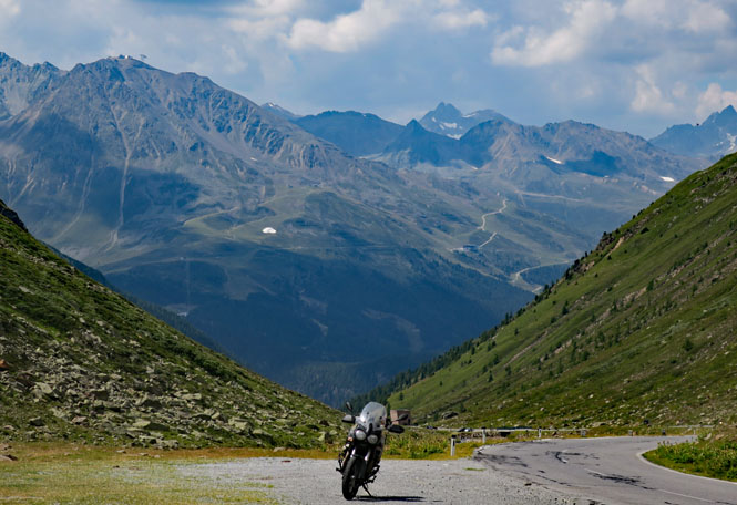
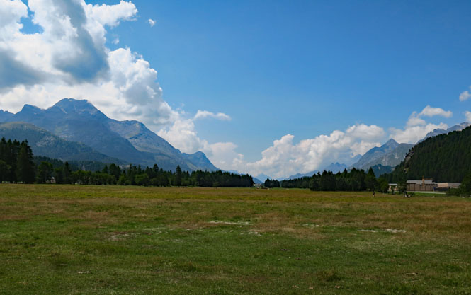
The view towards Malojapass and Italy.
 Italy
Italy
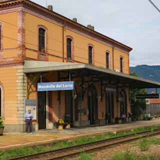
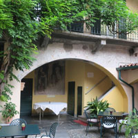
And, I return to Mamma Ciccia's B&B in Mandello del Lario, which might be the most relaxing place on earth.
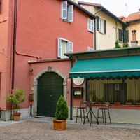
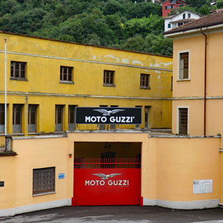
Moto Guzzi has just repainted their famous gate, perhaps in preparations for their 100th anniversary, which is soon.
